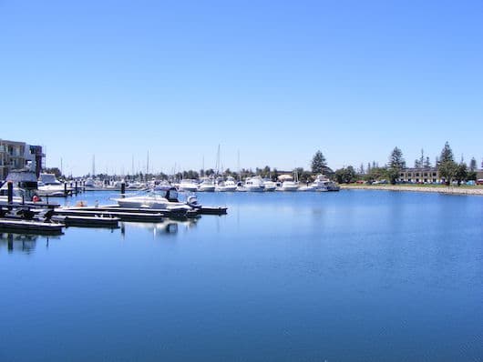
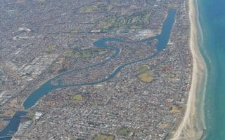
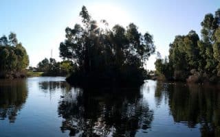
Patawalonga Lake, known locally as the “Pat”, is a 1.6 km long man-made water system that is designed to stop flooding by diverting storm water. It runs parallel to the coastline from Glenelg to West Beach. The 3.7 km loop run starts in Glenelg, just north of the popular Glenelg Beach. The area includes grassed river banks and views of Glenelg and the marina.
Usually tackled clockwise, the retractable walkway across the barrage next to Wigley Reserve allows you to cross the lake before turning right and following the path lake-adjacent. The best way to cross back is the pedestrian bridge near the skate park.
Note: The “Pat” is known for its stench, caused by various factors such as stormwater pollution…can’t say you weren’t warned!
Add-ons: Continue north or south on the Coastal Trail. Or, follow the Lake north to Tapleys Hill Road, to join the Adelaide Airport Trail Network.

Review or Comment on This Route/Share a Photo!
Share your feedback on this route and see that of other Great Runs users. Click on the image icon to upload a photo. And please let us know if there are notes or changes we should incorporate!