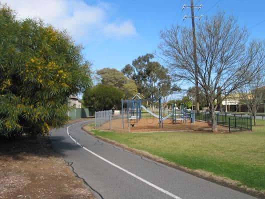
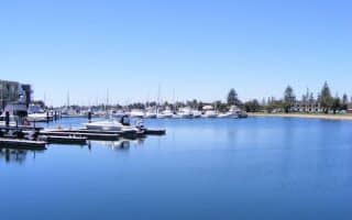
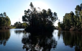
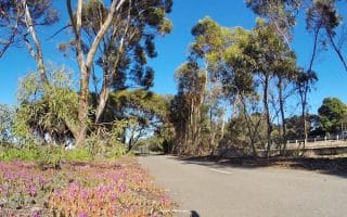
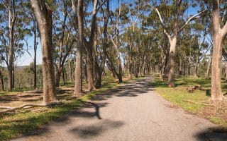
The West Side Trail is a multi-use path that runs from the Mile End Railway Station west to Glenelg. Popular with cyclists and commuters, the path follows the former Holdfast Bay Railway line. It is off-road and mostly tree-lined, with some road crossings. The path is entirely paved, flat and wide (two-way) up to where the trail meets Anzac Hwy. From there, the just over 2 km until the Glenelg Beach is on road. Bonus: well-lit at night.
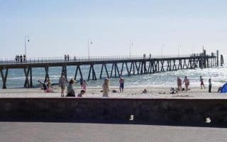
Add on/Options: Once at Glenelg Beach you can join the Coastal Trail (see our route there). Approximately 2.5 km south of Glenelg, just after crossing Anzac Hwy, you can join the Sturt River Linear Park to head south-east (see our route there). Another fun option is to run the West Side Trail one-way and use transport for the return!
The West Side Trail is a multi-use path that runs from the Mile End Railway Station west to Glenelg. Popular with cyclists and commuters, the path follows the former Holdfast Bay Railway line. It is off-road and mostly tree-lined, with some road crossings. The path is entirely paved, flat and wide (two-way) up to where the trail meets Anzac Hwy. From there, the just over 2 km until the Glenelg Beach is on road. Bonus: well-lit at night.
Add on/Options: Once at Glenelg Beach you can join the Coastal Trail (see our route there). Approximately 2.5 km south of Glenelg, just after crossing Anzac Hwy, you can join the Sturt River Linear Park to head south-east (see our route there). Another fun option is to run the West Side Trail one-way and use transport for the return!


Review or Comment on This Route/Share a Photo!
Share your feedback on this route and see that of other Great Runs users. Click on the image icon to upload a photo. And please let us know if there are notes or changes we should incorporate!