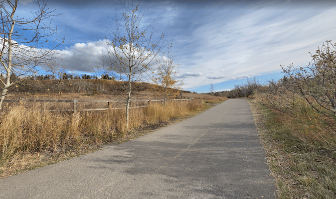
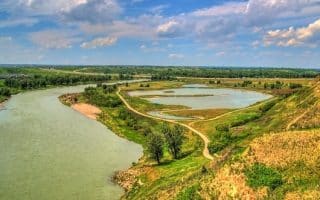
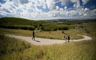
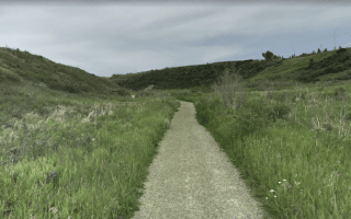
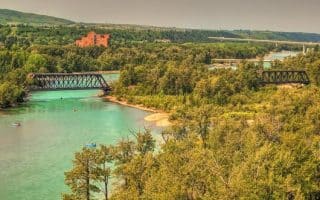
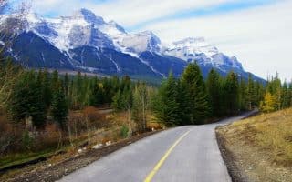
The Elbow River pathway is another signature running spot in Calgary. The mainly paved path starts near the confluence with the Bow River just east of downtown, and travels south for 11 km, connecting to River Park and the Glenmore Reservoir. The terrain is a combination of parks, grassland/prairie, and some wooded sections. There are views of the fairly narrow river for some of the way. The path is mainly along the east bank of the river. The path is well-signed, with map kiosks along the way.
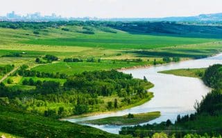
Do the whole route or choose a section! From the start near Fort Calgary, the path travels south, passing through: Enmax Park; Lindsay Park (km 3.5); Stanley Park (km 7); and River Park (km 8.5). The path ends at Glemore Dam, where it connects to the Glenmore Pathway and our route there around the Glenmore Reservoir.
Add-Ons: At the north end, connect to the Riverwalk path on the south bank of the Bow River, or the Bow River Pathway. on the north side of the Bow River (pedestrian bridge to the north side is just west of Fort Calgary. At the south end, connect to our Glenmore Reservoir route. There are also additional trails in River Park.
The Elbow River pathway is another signature running spot in Calgary. The mainly paved path starts near the confluence with the Bow River just east of downtown, and travels south for 11 km, connecting to River Park and the Glenmore Reservoir. The terrain is a combination of parks, grassland/prairie, and some wooded sections. There are views of the fairly narrow river for some of the way. The path is mainly along the east bank of the river. The path is well-signed, with map kiosks along the way.
Do the whole route or choose a section! From the start near Fort Calgary, the path travels south, passing through: Enmax Park; Lindsay Park (km 3.5); Stanley Park (km 7); and River Park (km 8.5). The path ends at Glemore Dam, where it connects to the Glenmore Pathway and our route there around the Glenmore Reservoir.
Add-Ons: At the north end, connect to the Riverwalk path on the south bank of the Bow River, or the Bow River Pathway. on the north side of the Bow River (pedestrian bridge to the north side is just west of Fort Calgary. At the south end, connect to our Glenmore Reservoir route. There are also additional trails in River Park.


Review or Comment on This Route/Share a Photo!
Share your feedback on this route and see that of other Great Runs users. Click on the image icon to upload a photo. And please let us know if there are notes or changes we should incorporate!