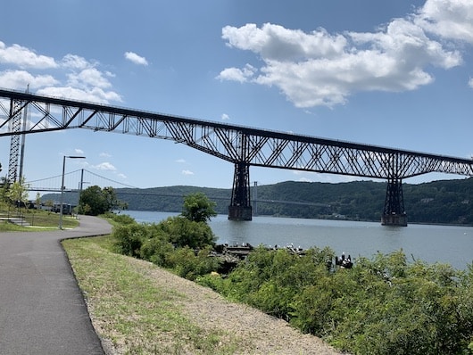
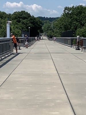
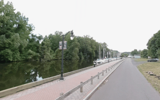
 Run along the world’s highest and longest pedestrian bridge! A running highlight in the Hudson Valley is the newly opened Walkway Over the Hudson, a recently opened pedestrian bridge over the river. There are fantastic views of the Hudson, the Catskills, and the nearby Mid-Hudson Bridge. It’s 1.5 miles over the bridge on a wide, paved path. There are parking areas and facilities on both the Highland and Poughkeepsie sides. On the Poughkeepsie side, you can take the Walkway Elevator Access Path down to the water and do an extra 0.5 miles along the Waryas Park Promenade.
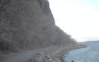
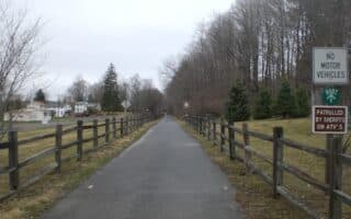
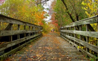
Hudson Valley Rail Trail. On the Highland (west) side of the Walkway, the Hudson Valley Rail Trail/Empire State Traul is a pleasantly shaded, paved multi-use trail that continues for 4 miles west through Highland & Lloyd to South St. Headed west, it’s a gradual uphill. ROUTE MAP
- The Empire State Trail continues alongside SR 299 toward New Palz and then continues for many miles as a long-distance rail trail.
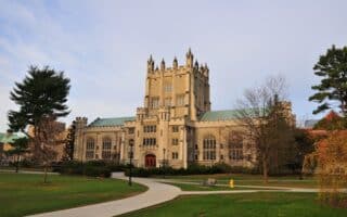
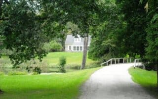
Dutchess Rail Trail. On the Poughkeepsie end, the Empire State Trail.Dutchess Rail Trail is a paved multi-use path that extends for nearly 13 miles east and south miles to Hopewell. From the Walkway, it’s 1 mile to College Hill Park (nice park with 1-2 miles of paths, hills, & monuments), 4.5 miles to Rt. 55 (Vassar College is 1 mile west), 11.5 miles Lake Walton Preserve, and 12.8 miles to Hopewell Junction. At the southern end of the trail in Hopewell, connect to the new Maybrook Trailway, which runs for 25 miles to Brewster (included in our Westchester County Running Guide).
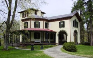
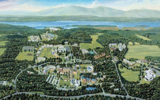
- NEW: A new spur trail, just east of Washington St. heads north for 1.2 miles toward Marist University. There are also some nice pedestrian paths around the university campus. ROUTE MAP

Review or Comment on This Route/Share a Photo!
Share your feedback on this route and see that of other Great Runs users. Click on the image icon to upload a photo. And please let us know if there are notes or changes we should incorporate!