
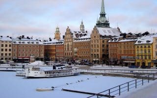
There’s some nice running on the island of Lidingö, the self-proclaimed ‘health island’. There’s a nice network of cycle paths and parks, and also some forested trails. A few recommendations:

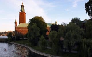
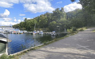
Lidingö Bridge & Waterfront. From Ropsten metro stop in northeast Stockholm, a scenic bridge with a dedicated multi-use path leads over the water to Lidingö. Then, continue south on a waterfront trail for ~2 km. Double back and then join the cycle path that runs alongside the train tracks for up to 1.5 km to the Lidingö Larsberg station, loop around Larsbergsparken park, then retrace your steps. Overall, this route is 8.3 km. There are numerous additional cycle paths in the area. Note: you can run one-way and take the tram back to Ropsten.
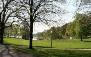
Forest Paths. At the northern end of Lidingö, there’s a nice series of gravel forest paths that make for some quiet, peaceful running. A good option is to park at the Grönsta parkering (parking lot & park). Enjoy the gravel forest paths, which extend for 3 km to Kyttinge, and then another 1.5 km along the water to Sticklinge. There are also additional paths in the interior to create your own route!


Review or Comment on This Route/Share a Photo!
Share your feedback on this route and see that of other Great Runs users. Click on the image icon to upload a photo. And please let us know if there are notes or changes we should incorporate!