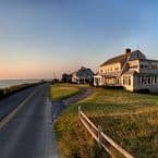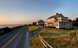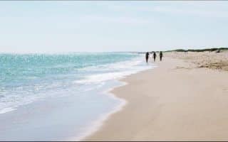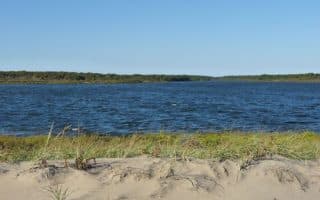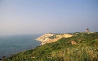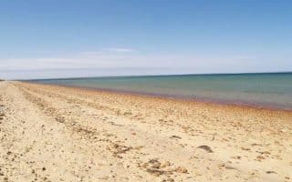
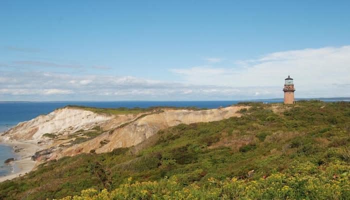
Martha’s Vineyard is an island 7 miles off the coast of Cape Cod, and is a particularly popular summer destination. It is reachable by air or ferry. The year-round population is 16,000, but swells to more than 100,000 in summer. The island is known for its quaint villages, gorgeous beaches, the cliffs of Gay Head, and the agricultural interior areas of West Tisbury. The best running on Martha’s Vineyard includes beachside trails, bike paths, state parks, and lovely residential areas, offering a wide variety of options.
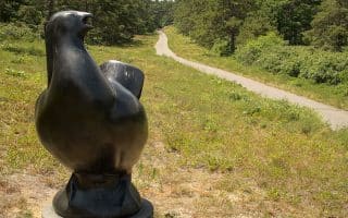
The best places to run on Martha’s Vineyard are South Beach State Park, waterfront views along East Chop Drive in Oak Bluffs, the bike path along State Beach, and Manuel F Correllus State Park for a nice, woodsy trail run.
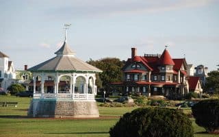
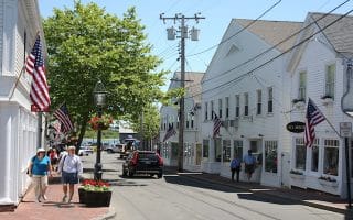
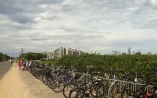
Martha’s Vineyard is divided into six towns: Toney Edgartown is the population center and largest commercial area, known for its whaling tradition; Oak Bluffs is festive and rambunctious, known for its gingerbread cottages; Tisbury is home to Vineyard Haven Harbor and the island’s year-round ferry terminal; West Tisbury is the agricultural center; Chilmark includes the fishing village of Menemsha, and has the hilliest terrain; and Aquinnah is the location of Gay Head and the clay cliffs. There are bike paths in many sections of the island, especially connecting Vineyard Haven, Oak Bluffs, Edgartown, and out to South Beach. The Vineyard Transit Authority (VTA) offers excellent bus service, especially in season, making possible one-way runs!