Unfortunately, there aren’t really any particularly attractive waterfront paths in Manaus. But there are a few decent sections.
Waterfront:
Av. Marquês da Silveira. Roads on each side of a small canal. 5 km out and back. ROUTE MAP
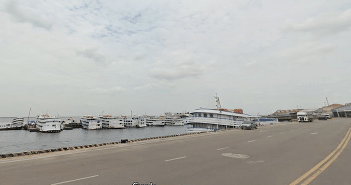
Av. Lourenço da Silva Braga. This is the main road along the Rio Negro in Manaus. It’s a busy road choked with cars, but there is a decent sidewalk. Water views along about half of this road. ROUTE MAP
Parque Rio Negro. About 0.7 km of pleasant paths in this riverfront park. And there’s a sidewalk on the R. Cinco Setemnbro bridge, which leads there from central Manaus.
Beaches:
As for beaches, there aren’t any that are particularly long.
Praia da Ponta Negra is 0.7 km long, and is runnable. There’s also a dedicated path along the beach.
Praia da Lua (Moon Beach) is the most scenic and longest beach (1 km) in the Manaus area, but it is not particularly accessible.
Unfortunately, there aren’t really any particularly attractive waterfront paths in Manaus. But there are a few decent sections.
Waterfront:
Av. Marquês da Silveira. Roads on each side of a small canal. 5 km out and back. ROUTE MAP
Av. Lourenço da Silva Braga. This is the main road along the Rio Negro in Manaus. It’s a busy road choked with cars, but there is a decent sidewalk. Water views along about half of this road. ROUTE MAP
Parque Rio Negro. About 0.7 km of pleasant paths in this riverfront park. And there’s a sidewalk on the R. Cinco Setemnbro bridge, which leads there from central Manaus.
Beaches:
As for beaches, there aren’t any that are particularly long.
Praia da Ponta Negra is 0.7 km long, and is runnable. There’s also a dedicated path along the beach.
Praia da Lua (Moon Beach) is the most scenic and longest beach (1 km) in the Manaus area, but it is not particularly accessible.

Review or Comment on This Route/Share a Photo!
Share your feedback on this route and see that of other Great Runs users. Click on the image icon to upload a photo. And please let us know if there are notes or changes we should incorporate!