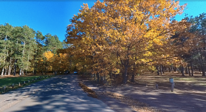
This is a 7-mile grand tour of Marquette, featuring downtown, waterfront and interior sections of the City Multi-Use Path, Northern Michigan University, and a running track. Do the full loop, sections, or mix & match with the 4.7 miles along Lake Superior or the Iron Ore Heritage Trail.
Start downtown at Main St. For the first 1.2 miles headed west through downtown, use the Iron Ore Trail for off-road, or W Bluff Rd., which is wide, leafy, and has some nice homes. At McClellan Ave., connect with the City Multi-Use Path and head north. At the High School (2-mile mark), there’s a running track. Just north of there is the western edge of Northern Michigan University, where you can add on with the campus paths. At Hawley St., the path turns RIGHT toward the water, with the final 3 miles of the loop headed south along Lake Superior, with great water views.
Add-Ons: North along Lake Superior to Presque Isle Park, more along the Iron Ore Heritage Trail, or the Noquemanon North Trails.


Review or Comment on This Route/Share a Photo!
Share your feedback on this route and see that of other Great Runs users. Click on the image icon to upload a photo. And please let us know if there are notes or changes we should incorporate!