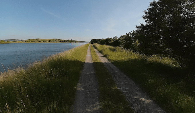
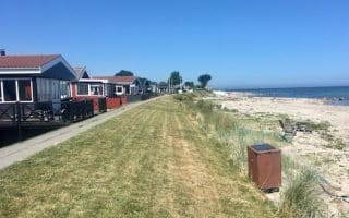
This is probably the most scenic run in the Odense area. You can run north of the city along the western shore of Odense Fjord, on an off-road path featuring uninterrupted water views for 10+ km. The path starts as paved, and turns into a gravel surface. There are great views. You mightt see Bike Route 32 signs.
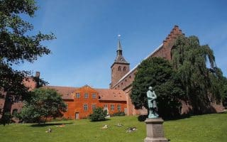
Start at the Port of Odsense, just north of the central train station. Nice views of the port and the North Atlantic House. Run on the Kanalvej path on the western side of the water for 1.8 km, then join a cycle path for 1.2 km. Then, continue following the path along the water for up to a total of 10.6 km, ending in Klintebjerg. There are several scenic viewpoints and small parks along the way.
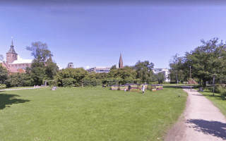
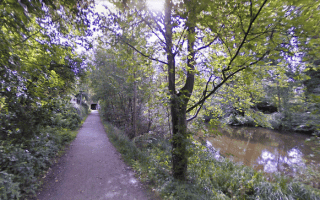
Add-Ons: Just west of Odense Port, nice paths on our route incorporating Åløkke Skov Park & Snapind Skov Park.
This is probably the most scenic run in the Odense area. You can run north of the city along the western shore of Odense Fjord, on an off-road path featuring uninterrupted water views for 10+ km. The path starts as paved, and turns into a gravel surface. There are great views. You mightt see Bike Route 32 signs.
Start at the Port of Odsense, just north of the central train station. Nice views of the port and the North Atlantic House. Run on the Kanalvej path on the western side of the water for 1.8 km, then join a cycle path for 1.2 km. Then, continue following the path along the water for up to a total of 10.6 km, ending in Klintebjerg. There are several scenic viewpoints and small parks along the way.
Add-Ons: Just west of Odense Port, nice paths on our route incorporating Åløkke Skov Park & Snapind Skov Park.


Review or Comment on This Route/Share a Photo!
Share your feedback on this route and see that of other Great Runs users. Click on the image icon to upload a photo. And please let us know if there are notes or changes we should incorporate!