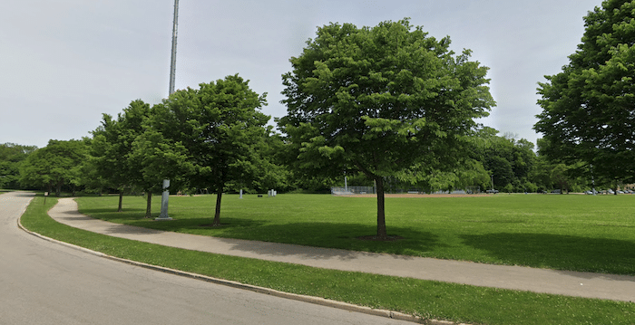
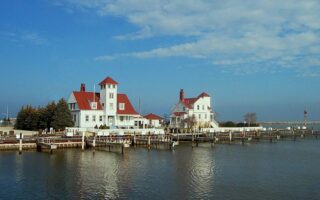
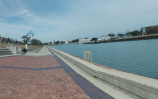
The Root River Pathway is a pleasant linear park run along the Root River, which flows into Lake Michigan at Racine Harbor. It’s a paved multi-use trail, with a couple of road connections. There are occasional water views, though this is mainly a bike path through several parks. Officially, the trail is 4 miles, but we’ve mapped the 3.6 miles from the start in downtown Racine to Colonial Park.
Start near downtown off Ontario St. Follow the path, briefly, then there’s 0.4 miles along Mound Ave. The path crisscrosses each bank of the river, winding through Cedar Bend Park, Horlick Park, and Lincoln Park. The separated trail ends at W High St. in Colonial Park. You can follow the signs for the additional 0.5 miles on-road to Layard Ave. There are interpretive signposts along the way, providing a history of the river.
Add-Ons: Connect to the Lake Michigan Pathway, MRK Trail, North Shore Trail.


Review or Comment on This Route/Share a Photo!
Share your feedback on this route and see that of other Great Runs users. Click on the image icon to upload a photo. And please let us know if there are notes or changes we should incorporate!