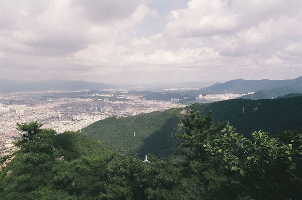
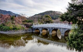
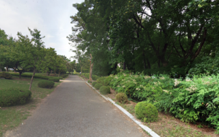
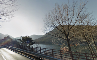
Trail runners will love running in Aspan Park. Located in the southern part of Daegu, the 600m high Aspan Mountain is the closest of the numerous mountains surrounding the city. The park has an extensive network of wooded, rugged trails. There’s also a cable car to the summit, which features fantastic city views and gorgeous sunsets. Note: this is a hike or a challenging trail run.
The route to the summit is 3-4 km, depending on the route chosen. We’ve mapped a ~7 km loop, including the summit and a couple of other peaks/viewpoints at the southern end of the park. Use this as a guideline — there are many more trails, including an entire section west of the Sopra Observatory. While we couldn’t find a digital map of the trails, there are map kiosks in the park. There are numerous access points off Aspansunhwan-ro, including a trailhead for the Observatory, and another further east with more direct access to the cable car summit. Access to the cable car is via a road that climbs 1/3 way up the mountain.

Review or Comment on This Route/Share a Photo!
Share your feedback on this route and see that of other Great Runs users. Click on the image icon to upload a photo. And please let us know if there are notes or changes we should incorporate!