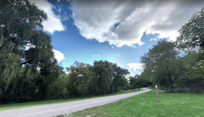
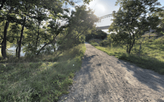
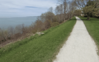
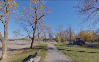
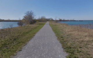
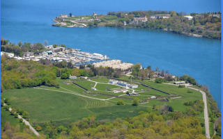
The Merritt Trail is an 8.5 km trail that runs along Twelve Mile Creek and then through the Canal Valley in St. Catharines. Starting at the west end off Martindale Rd., the first ~2 km of this dirt/gravel trail follows Twelve Mile Creek. Then, there’s a ~2 km section through downtown that’s a bit industrial and mixed with the tangle of Highway 406. The nicest section is the 3.5 km beginning in Centennial Gardens, following a linear park in the Canal Valley area, with trails on both sides of the canal connected by a couple of small bridges that cross over the canal. Some sections here are open, others wooded. Clifford’s Creek Park has another 1-2 km of additional trails.
Side-Trip: Check out Olmsted-designed Montebello Park, which features the city’s largest rose collection, with 1,300 bushes in 25 varieties, an ornamental fountain, and a band shell and pavilion built in 1888. Use Salina St. off the Merritt Trail to get there.
Add-Ons: The Twelve Trail, which runs for 5 km along the east side Twelve Mile Creek. Access is across Highway 406.


Review or Comment on This Route/Share a Photo!
Share your feedback on this route and see that of other Great Runs users. Click on the image icon to upload a photo. And please let us know if there are notes or changes we should incorporate!