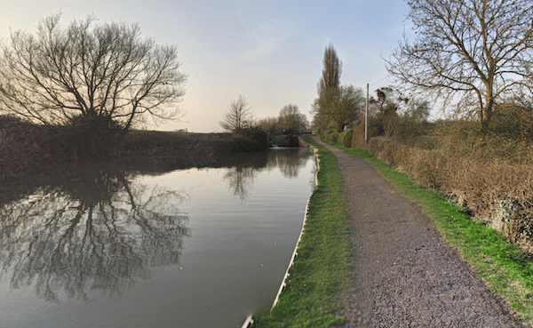
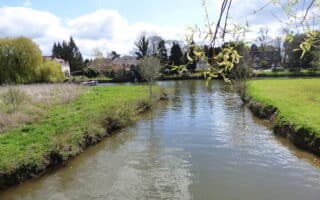
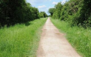
The towpath along the canal between Stratford-Upon-Avon and Wilmcote makes for a nice, flat off-road run. There are views of the canal most of the way, and a pleasant tree canopy. Most of the path is under the road, but there are a couple of spots where you’ll go up some short stairs for a crossing.
The path itself starts 1 mile west of the center of Stratford-Upon-Avon, at Timothy’s Bridge Rd. You can also start in the center of Stratford, running along the unnamed road on the north side of the canal. In all, it’s up to 4.5 miles out and back to Wilmcote starting from Timothy’s Bridge, or 6.5 miles starting from the center of Stratford. One interesting site is the Wilmcote Locks. There’s about 100 foot elevation gain over 1 mile starting at the 1 mile mark.


Review or Comment on This Route/Share a Photo!
Share your feedback on this route and see that of other Great Runs users. Click on the image icon to upload a photo. And please let us know if there are notes or changes we should incorporate!