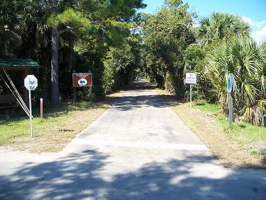
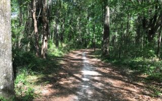
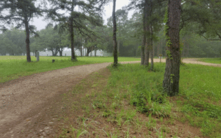
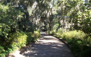
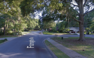
The St. Mark’s Historic RR State Trail is a good opportunity for a long, off-road run in Tallahassee. The paved multi-use path follows the abandoned railbed of the historic Tallahassee-St. Marks Railroad from just south of Capital Circle Southeast, to the coastal city of St. Marks. Our route map includes a 4.5 mile extension north into the heart of Tallahassee. It isn’t the most scenic trail — much of it is a path alongside Old Woodville Rd. Nicer sections are just north of Capital Circle SE, and just south of Highway 267 where the trail is away from the road (the southernmost 5 miles of the trail).
Add-On: Good trail running in the Munson Hills Trail in the Apalachicola National Forest, located 1.25 miles south of the Capital Circle SE trailhead. Also, just north of the Gamble St. end of the trail, can join our Lake Elberta-Cascades Park route.


Review or Comment on This Route/Share a Photo!
Share your feedback on this route and see that of other Great Runs users. Click on the image icon to upload a photo. And please let us know if there are notes or changes we should incorporate!