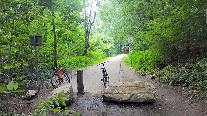
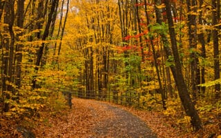
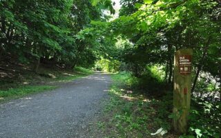
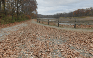
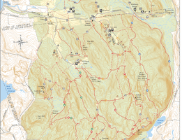
A paved multi-use path spans the entire length of Westchester County for some 35 miles. It’s called the South County Trailway for ~14 miles from the New York City line at Van Cortlandt Park to Eastview/Tarrytown, then continues as the North County Trailway for ~21 miles to Baldwin Place. It’s a great option for a run of any length or as a connector to various parks and other running routes in the area. The two trail maps have good detail.
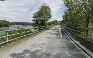
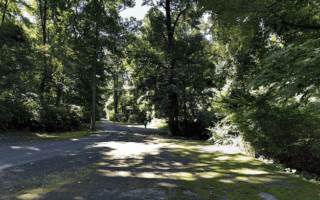
The South County Trailway starts at the New York City Line in Yonkers at Van Cortlandt Park, and follows the Saw Mill Parkway for most of its 14.5 mile length to Eastview/Tarrytown Lakes. Being right next to a major parkway road, it’s not the most attractive route. But you can pack in the miles and there are connectors to more scenic running opportunities. Key distances, landmarks, and add-ons, from south to north:
Mile 0: Van Cortlandt Park. Many miles of trails. See our route there
Mile 1: Tibbetts Brook Park (2 mile trail loop) & Redmond Park. Nice additional trails, can connect w/Croton Aqueduct Trail
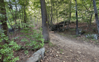
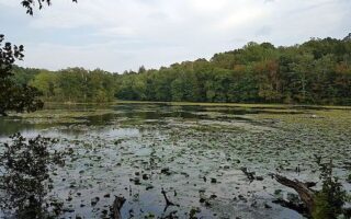
Mile 8.6: Ashford Ave., connect to V.E. Macy Park/Juhring Nature Preserve
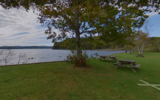
Mile 14.5: Eastview. Connector to Tarrytown Lakes Park.
North of Eastview/Tarrytown Lakes Park, the trail continues for another 21 miles as the North County Trailway to Baldwin Place.


Review or Comment on This Route/Share a Photo!
Share your feedback on this route and see that of other Great Runs users. Click on the image icon to upload a photo. And please let us know if there are notes or changes we should incorporate!