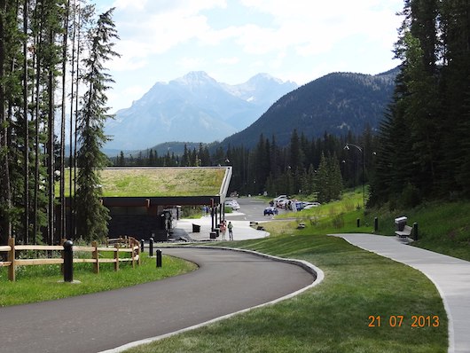
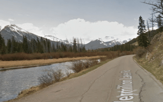
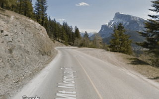
Car-free road path beyond Cave and Basin. Google Street View
This is a wonderful run on a paved road and path that is car-free after the first mile. The Cave and Basin is a National Historic Site — it’s Canada’ s first national park, featuring hot mineral springs in a cave and an outdoor, emerald-colored pool. It can be accessed from downtown along Cave Rd. It’s 1.5 km to the site, with sidewalks along the road. Once at the Cave and Basin, the paved road continues and becomes car-free. This road/path continues, and is fairly flat, going along the Bow River for about 1.5 km. Our turnaround point is at the 4 km mark, where the path turns to dirt and becomes more rugged. and hilly as it heads for another 4 km to the Sulphur Mountain Cosmic Ray Station National Historic Site.
Variations/add-ons: You can also continue further into Sundance Canyon for another 4 km to the Sulphur Mountain Cosmic Ray Station National Historic Site, but that’s hillier more challenging trail running. If you want to avoid Cave Rd. (and a 40m climb over the first 1.5 km), you can drive or take a bus to the Cave and Basin parking lot. You can also combine this with sections of the the Bow River Trail or Golf Course Loop.
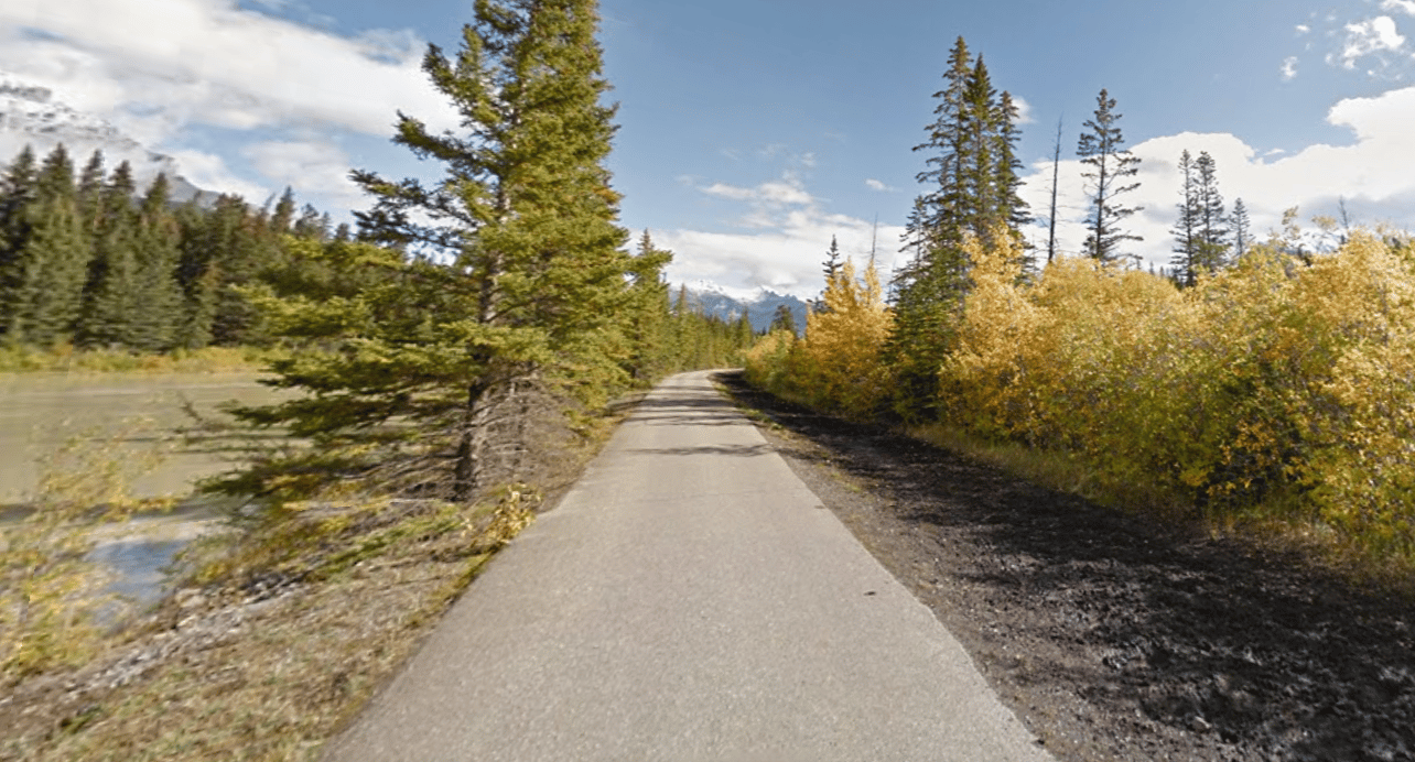
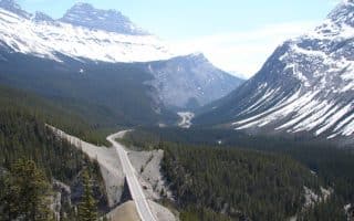
The 233 km Parkway between Lake Louise and Jasper is considered one of the most scenic drives in the world. Runnable even though it's a highway, since there's a decent shoulder. We highlight some of the best sections for running.
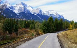
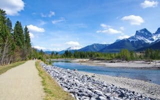
A gorgeous, relatively flat trail with fabulous views, popular with runners and cyclists. Parallels the Trans Canada Highway. Runs for 27 km from Canmore to Bow Valley Parkway at Banff Park east gate.
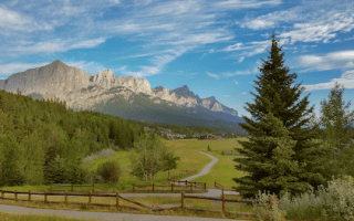
Our guide to the best roads and multi-use paths for running in the outdoor recreation mecca of Canmore, which is the eastern gateway to Banff National Park. Top spots: Legacy Trail, Three Sisters Trail, Bow River Paths, Harvie Heights Trail, AB-742.
Canmore sits between Calgary and Banff and is a major outdoor recreation center and gateway. This is a guide to some of the best easy-to-moderate trail running in the area, including the Bow River Paths, Nordic Center, and Goat Creek Trail.
One of the best options for a flat and scenic road run in Banff. The road runs parallel to the Trans Canada Highway, featuring wonderful views of the Vermilion Lakes and nearby mountains. Up to 12 km out and back, including a section of Legacy Trail.
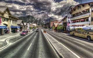
Create your own route around historic downtown Banff. Use Banff Ave., festive at any time of year as the anchor, and then run the grid-like side streets (named after animals), making sure to incorporate the Bow River Trail. Good option at night, and in winter.
Three very pretty, somewhat interconnected trails for running, all accessible from downtown Banff. They can be run standalone or combined in multiple was to make for a longer run. Flat and fairly easy, more path than 'trail'.
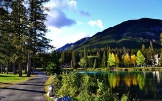
This 11 km loop has everything: pretty paved road along the famed Banff Springs Golf Course, then sections through woods, past meadows, and along the Bow River with great mountain views. Can do shorter 6k out and back. Note: closed Nov.-May.
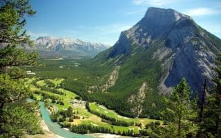
If you want a 10-mile road run with killer hills and views, this is is the one to do in Banff. Mt. Norquay Scenic Drive climbs steadily for 320m (1,077 feet), ending at Mt. Norquay Lodge. NOTE This road can be very busy and there is no shoulder.
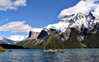
Some goof running options in this area northeast of Banff include the Lake Minnewanka Trail, and sections of the 13 km Lake Minnewanka Scenic Drive loop, especially between Two Jack Lake and Lake Minnewanka. NOTE BEAR PRECAUTIONS
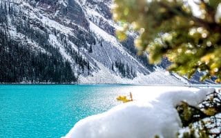
Our recommendations for the most scenic, accessible, and modest trails/paths for running in Lake Louise: the Lake Louise Shoreline Trail, Bow River Loop, Great Divide/Highway 1A, Tramline, and Moraine Lake Shoreline Trail.
Share your feedback on this route and see that of other Great Runs users. Click on the image icon to upload a photo. And please let us know if there are notes or changes we should incorporate!


Review or Comment on This Route/Share a Photo!
Share your feedback on this route and see that of other Great Runs users. Click on the image icon to upload a photo. And please let us know if there are notes or changes we should incorporate!