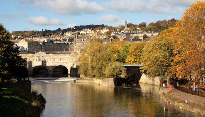
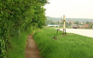
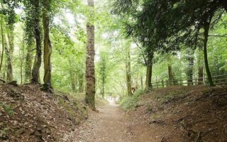
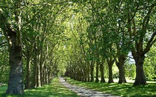
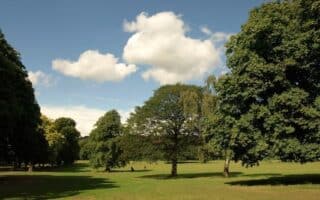
For a long off-road run, the Bristol and Bath Railway Path is a good option. The former railway is now a 15-mile, mainly paved multi-use path linking Bristol and Bath. At the Bristol end, the path passes through a series of suburban communities. There are several parks along the way, as well as numerous historic bridges and tunnels. Closer to Bath, the path travel along the River Avon for 4-5 miles, with nice water views. East of Brassmill Lane in Bath, the path is known as the West Bath Riverside Path, which reaches roughly to Pulteney Bridge in Bath. This terrific trail map has detailed information on the path, with numerous smaller maps broken into segment distances.
One fun option: Run the path one-way. A train between Bristol and Bath runs regularly and takes only 20 minutes. Catch it from Stalford or points east (miles 10-15, from Bristol).
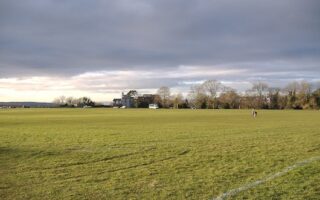
Add-Ons: Parks along the way: Newtown Park; Coombe Brook Nature Preserve (2 miles); Kelston Park (miles 10-12); There’s a running track at the Whitehall School near the Bristol end of the path.


Review or Comment on This Route/Share a Photo!
Share your feedback on this route and see that of other Great Runs users. Click on the image icon to upload a photo. And please let us know if there are notes or changes we should incorporate!