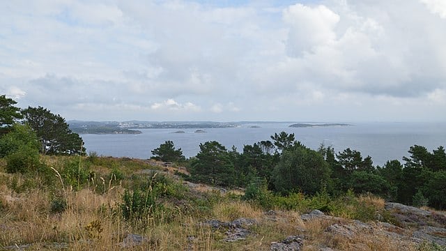
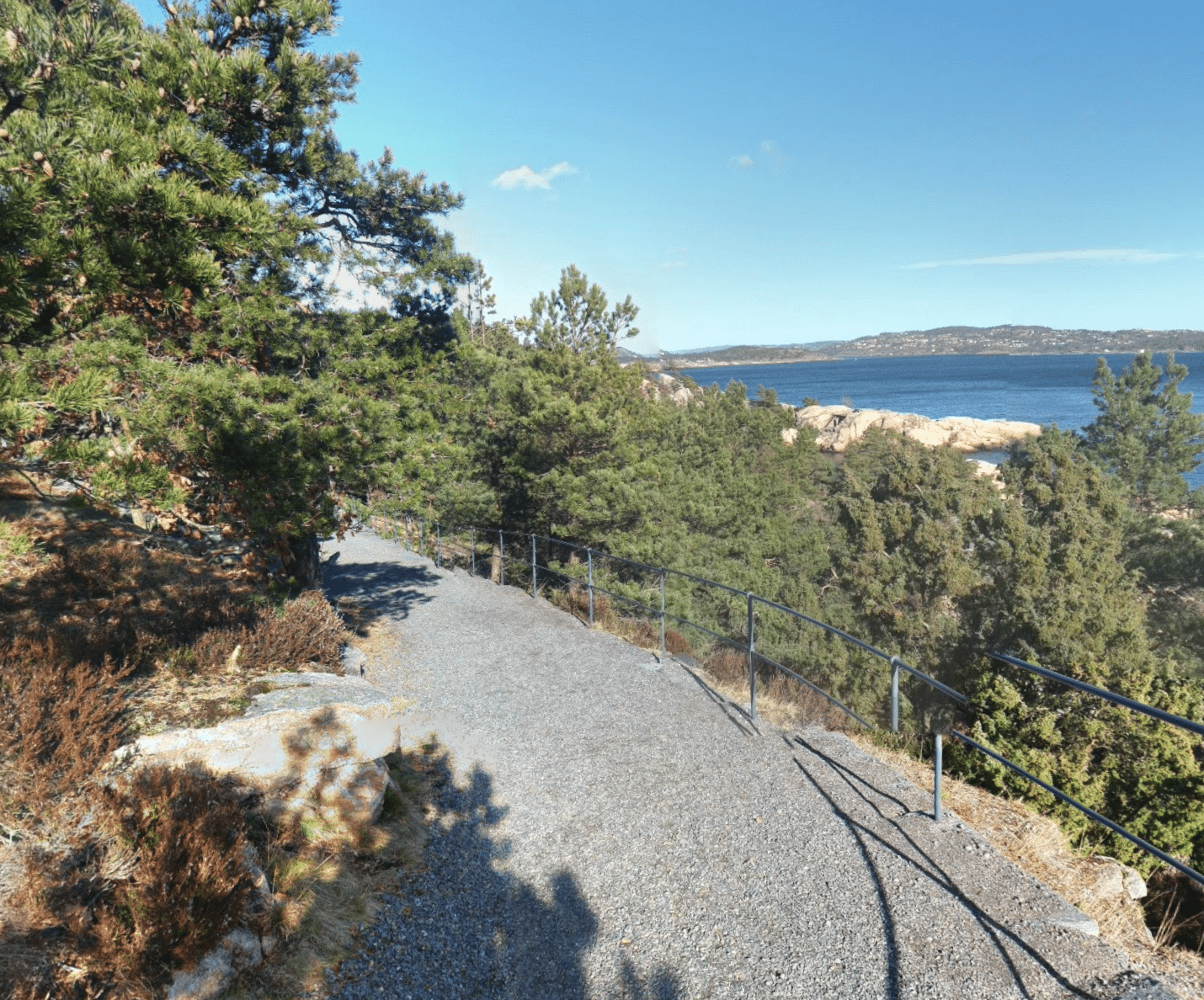
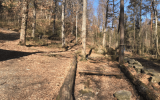
This is a pleasant run in Odderøya, a former island naval base that’s now a popular recreation area. It’s just south of downtown, using the Slow Bridge. The interior part of the island is now a public park, with scenic walking paths. The terrain is a combination of open and forested, and it’s quite hilly! A loop of the island is 3.5 km.
Southern tip of Odderøya. Google Street View
Start just across the bridge. There’s a large kiosk with maps. Follow the paved road, Paradeveien to Odderøyveien, which then becomes the Fyrgangen path looping around the southern part of the island. There are some great water views, and remains of old forts. There are a couple of sections of Fyrgangen that are more rugged and steeper, with some stairs. Loop back around the eastern end of the island to complete the route.
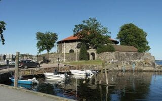
The signature run in Kristiansand, with 5 km of waterfront paths along Austerhavna Bay & marina, and along the Otra River. Nice water views, and some sites including the beach, Tangen pier, Nupenparken, and Christiansholm Fortress.
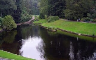
Scenic, wooded trail running just steps from downtown Kristiansand! These adjacent parks feature paths winding through a forest of tall evergreens, passing three lakes. Hilly! Many of the trails are lit at night!
Just across the water from Kristiansand, there are some wooded trails adjacent to the Sukkevannshallen sports complex. The is easy to moderate trail running, gentle rolling hills. The dirt trails can be a bit rugged in sections. 2.7 km loop.
Share your feedback on this route and see that of other Great Runs users. Click on the image icon to upload a photo. And please let us know if there are notes or changes we should incorporate!
Subscribe
0 Comments
Oldest
Newest
Inline Feedbacks
View all comments
Essentials
3.5 km (2.1 miles) loop
96m (315 feet)
Either downtown or one of the parking areas
Foot access from downtown using the Slow Bridge. Parking on Odderøya at the Kilden Parking Garage or a parking lot at the start of the Fyrgangen path

Review or Comment on This Route/Share a Photo!
Share your feedback on this route and see that of other Great Runs users. Click on the image icon to upload a photo. And please let us know if there are notes or changes we should incorporate!