Features:
Categories:
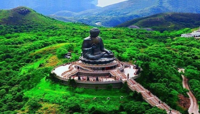
Lantau Island is Hong Kong’s largest outlying island. In addition to the scenic, mountainous interior, Lantau Island is also the location of the Hong Kong International Airport and adjacent Asia World Expo convention center, Hong Kong Disneyland, and beaches at its southern end. There are some good running options in each of these major sections.
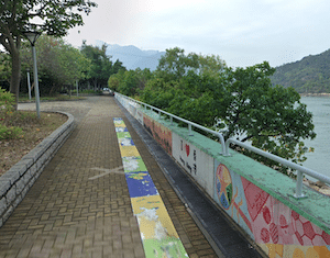
Airport & Asia World Expo Area. The airport & convention center are on the water at the northern end of the island. While the area right around there isn’t runnable, there is some good running in the area of hotels and skyscrapers just across the way, in the Caribbean Coast/Seaview Crescent area (Sheraton Hotel, Novotel). Here, we’ve mapped a 10.5 km loop by combining several sections: it’s 1.5 km on pleasant paths through three adjacent waterfront parks: Bermuda Park, Tung Chung Waterfront Park, & Man Tung Road Park. Combine with the scenic ~1 km Tung Chung Promenade, which has great views of the water, skyline, & surrounding mountains (Note: a bit tricky to connect the park & waterfront). Cross the Chek Lap Kok bridge to the Cherry Blossom Garden & Scenic Hill. Conclude by taking Shun Tung Rd. to Tung Chung North Park Chinese Herb Garden, which has scenic paths/stairs through it. ROUTE MAP
- For some hilly trail running, there’s the Olympic Trail and other mountain trails just north of the N Lantau Highway.
Beach Area. At the southern end of the island, Cheung Sha Beach & Tong Fuk Beach combine for ~3 km. The sand near the water is usually firm and quite runnable. There’s also a sidewalk along S Lantau Rd., with some occasional glimpses of the water. Further east is the more remote Pui O Beach area. The 1 km beach itself is quite runnable, and there’s a scenic trail above the beach as well.
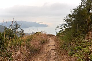
Trail Running. In the mountainous interior, there are some fantastic trail running options. Note these are rugged, hilly trails. At the northern end of the island, just north of the N Lantau Highway, there’s the Olympic Trail and the longer Lin Fa Shan Trail. At the southern end of the island is the famous 70 km Lantau Trail. This is more of a trail running ‘hiking trail’. Use the guide below for more information & to choose a section!
Lantau Trail Description and Map- Ferry from Central to Mui Wo. 40–60 minutes; Also train/subway


Comment on this Route/Share a Photo!
Share your feedback on this route and see that of other Great Runs users. Click on the image icon to upload a photo. And please let us know if there are notes or changes we should incorporate!