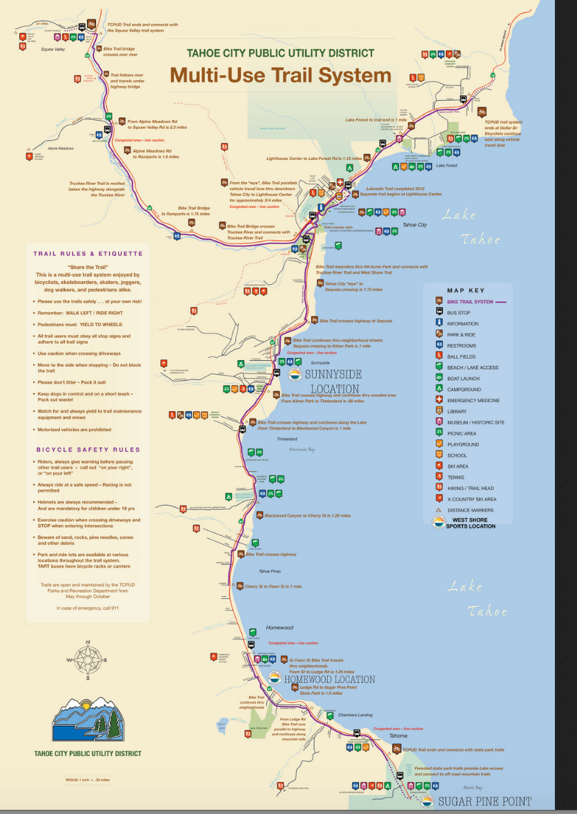
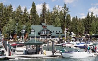
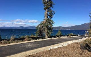
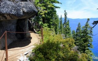
 Given the poor shouldered roads and lack of quieter, secondary roads, the bike paths in Lake Tahoe are a salvation for runners, bikers, and pedestrians. A bike path along the western shore of Lake Tahoe is one of a series of bike paths that radiate from Tahoe City. This one goes about 10 miles from Sugar Pine Point north to Tahoe City, mainly paralleling W. Lake Blvd. (Highway 89). It’s a combination of dedicated path alongside the road, with a couple of small gaps or sections routed through neighborhoods. We especially recommend the ~6 mile section from Homewood to Sunnyside (just north of the Tahoe State Recreation Area), which is right along the lake and quite flat. See the purple line on the bike trail map. Note that a 3/4 mile extension south to Meeks Bay is currently under construction.
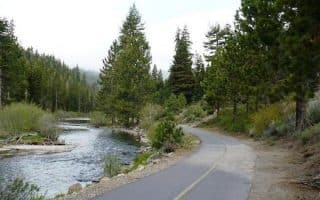
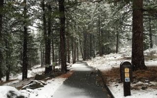
From Tahoe City, the Truckee River Bike Trail goes toward Squaw Valley for 5 miles. There’s also lakeside path from Tahoe City to Dollar Dr., a distance of ~3 miles.
Truckee River Bike Trail
Lakeside Path - Tahoe City to Dollar Dr.
Given the poor shouldered roads and lack of quieter, secondary roads, the bike paths in Lake Tahoe are a salvation for runners, bikers, and pedestrians. A bike path along the western shore of Lake Tahoe is one of a series of bike paths that radiate from Tahoe City. This one goes about 10 miles from Sugar Pine Point north to Tahoe City, mainly paralleling W. Lake Blvd. (Highway 89). It’s a combination of dedicated path alongside the road, with a couple of small gaps or sections routed through neighborhoods. We especially recommend the ~6 mile section from Homewood to Sunnyside (just north of the Tahoe State Recreation Area), which is right along the lake and quite flat. See the purple line on the bike trail map. Note that a 3/4 mile extension south to Meeks Bay is currently under construction.
From Tahoe City, the Truckee River Bike Trail goes toward Squaw Valley for 5 miles. There’s also lakeside path from Tahoe City to Dollar Dr., a distance of ~3 miles.
Truckee River Bike Trail
Lakeside Path - Tahoe City to Dollar Dr.

Review or Comment on This Route/Share a Photo!
Share your feedback on this route and see that of other Great Runs users. Click on the image icon to upload a photo. And please let us know if there are notes or changes we should incorporate!