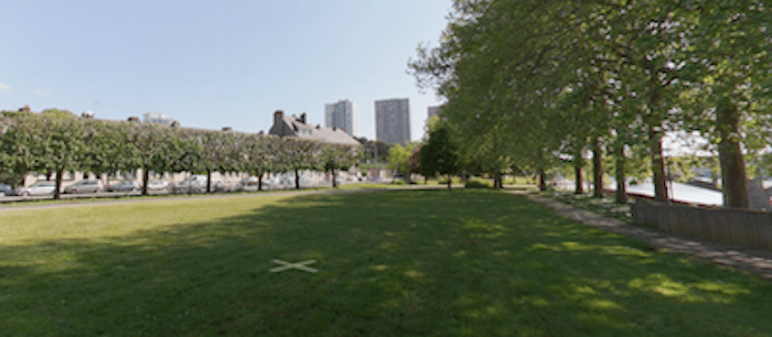
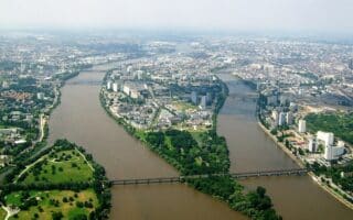
Although we prefer the paths along the Erdre River, there’s also some decent running along the Loire River, which is the main river passing through Nantes. Our route is primarily on the north side, although you can combine this with our Île de Nantes route on the south side of the river.
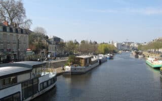
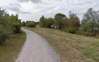
We’ve mapped 8.5 km one-way from the Maillé-Brézé Museum to the N844. The first 1 km is a nice path along the river. East of that, a small path runs alongside the busier road for 2 km. After crossing the intersection with the River Erdre, there’s a dedicated multi-use path alongside the road (still fairly busy). At the 5 km mark (Boul. de Seattle), the road turns inland while a nice bike path continues for 3.5 km east to the N844.
Add-Ons: Combine or vary with paths on the south side of the river – see our Île de Nantes route.
Although we prefer the paths along the Erdre River, there’s also some decent running along the Loire River, which is the main river passing through Nantes. Our route is primarily on the north side, although you can combine this with our Île de Nantes route on the south side of the river.
We’ve mapped 8.5 km one-way from the Maillé-Brézé Museum to the N844. The first 1 km is a nice path along the river. East of that, a small path runs alongside the busier road for 2 km. After crossing the intersection with the River Erdre, there’s a dedicated multi-use path alongside the road (still fairly busy). At the 5 km mark (Boul. de Seattle), the road turns inland while a nice bike path continues for 3.5 km east to the N844.
Add-Ons: Combine or vary with paths on the south side of the river – see our Île de Nantes route.


Review or Comment on This Route/Share a Photo!
Share your feedback on this route and see that of other Great Runs users. Click on the image icon to upload a photo. And please let us know if there are notes or changes we should incorporate!