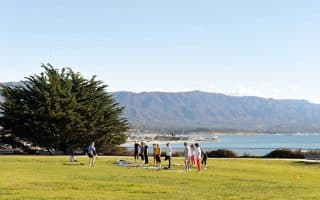
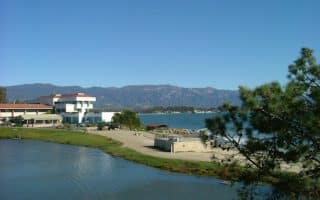
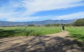
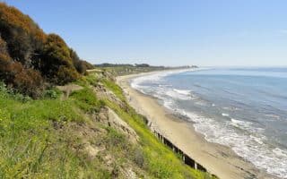
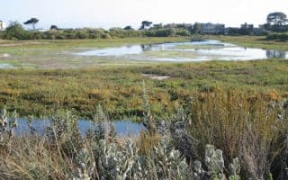
The Obern Trail Bike Path is a paved multi-use path that travels from the UC Santa Barbara (UCSB) campus south toward Santa Barbara. The trail goes through Goleta Beach Park and then a nice section alongside Atascadero Creek. Overall, the trail that we’ve mapped is 7.2 miles, with the nicest parts the 4.2 miles from USCB to Arroyo Rd. Pro Tip:Enjoy a bite at the classic Beachside Bar & Cafe at in Goleta Beach Park at the end of your run!
Start at the UCSB Campus off Lagoon Rd. Follow the trail south through Goleta Beach Park, and then Atascadero Creek, which has an accompanying dirt path for pedestrians. Arroyo Rd. is a good spot to turn back.
Beyond Arroyo Rd: At Arroyo Rd., it’s possible to continue along the Obern Trail for another ~6 miles to Santa Barbara. This part of the trail is along roads, so not as nice for running. To continue, LEFT on Arroyo, RIGHT on Nueces Dr., and follow the path to Modoc Rd. The Obern Trail continues as a wide, separated bike path along Modoc Rd. to Las Positas Rd. At Las Politas, another paved multi-use path heads west toward Elings Park and Cliff Dr.
The Obern Trail Bike Path is a paved multi-use path that travels from the UC Santa Barbara (UCSB) campus south toward Santa Barbara. The trail goes through Goleta Beach Park and then a nice section alongside Atascadero Creek. Overall, the trail that we’ve mapped is 7.2 miles, with the nicest parts the 4.2 miles from USCB to Arroyo Rd. Pro Tip:Enjoy a bite at the classic Beachside Bar & Cafe at in Goleta Beach Park at the end of your run!
Start at the UCSB Campus off Lagoon Rd. Follow the trail south through Goleta Beach Park, and then Atascadero Creek, which has an accompanying dirt path for pedestrians. Arroyo Rd. is a good spot to turn back.
Beyond Arroyo Rd: At Arroyo Rd., it’s possible to continue along the Obern Trail for another ~6 miles to Santa Barbara. This part of the trail is along roads, so not as nice for running. To continue, LEFT on Arroyo, RIGHT on Nueces Dr., and follow the path to Modoc Rd. The Obern Trail continues as a wide, separated bike path along Modoc Rd. to Las Positas Rd. At Las Politas, another paved multi-use path heads west toward Elings Park and Cliff Dr.
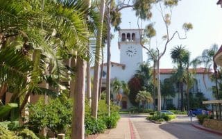
A pleasant 'runseeing' tour of historic downtown Santa Barbara. We've mapped 2.5 miles from the Mission to the Waterfront, using State St. as an anchor, as well as a map of some of Santa Barbara's historic sites and buildings.
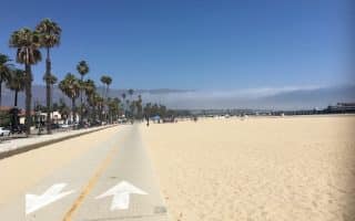
The signature Santa Barbara run is between Shoreline Park and East Beach, featuring beaches, marina, piers, parks, palm-lined boulevards, and mountain views. 5 miles one-way, all on paths, with option for 2-mile Montecito Loop.
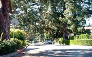
A lovely run in one of Santa Barbara's toniest residential neighborhoods, located just northwest of downtown. Enjoy this 4-mile loop along tree-shaded streets featuring a range of architectural styles.
The route of a popular 5k event in Santa Barbara, along a great section in a central location, highlighting Shoreline Park, and Leadbetter Beach, just north of the Harbor. Join Nite Moves on Wednesdays in summer if you're in town!
A pleasant, shaded run in one of Santa Barbara's toniest neighborhoods. Lovely homes and beautifully landscaped streets. It's about 5 miles from Highway 101 to the shore along Las Palmas Dr. and Marine Dr.
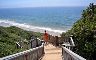
For an iconic run along a long stretch of beach, look no further than Arroyo Burro Beach County Park — more commonly known as Hendry’s Beach. Feel like California’s Rocky Balboa while sprinting up the steep steps that connect the beach to the return path.
Few college campuses rival UC Santa Barbara in beauty. Follow this loop around the paved lagoon path, with views of the university, and out to Del Playa Bluffs which cruises the cliffs lining the Pacific Ocean.
Run through stands of scented eucalyptus trees with gorgeous views of the volcanic Channel Islands on this nearly 3 mile loop of coastal Goleta. Beach is a good option, and for a longer run add the Obern Trail Bike Path.
Santa Barbara’s next door neighbor Goleta offers stretches of hard-sand beach, scenic mesa trails, and a butterfly preserve where you can witness thousands of Monarchs wintering in the warm sun.
Enjoyable trail through marshlands with a a bridge crossing and a fun little stone labyrinth. Can combine with a jaunt down to Sandy Point, and/or the trails of Carpinteria Nature Bluffs Preserve, which has 1 mile of trails overlooking the ocean.
Gould Park is 7 miles north of Santa Barbara and has some great trails for running. We've mapped out a rewarding 2 mile run along a paved path to a the Hot Spring, and a more challenging 2 mile Cold Spring Trail Loop.
A challenging trail run into Rattlesnake Canyon Park. We've mapped a 6-mile loop that twists and turns, offering a good introduction to the Santa Ynez Mountains. Enjoy the Botanical Gardens as part of the run.
Lush groves of oaks and sycamores, valley views, and a series of climbs and drops in the mountains above the Summerland neighborhood. The trails can be spliced together for a killer 9+ mile run, but we’ve mapped a more manageable 5.5 mile loop.
Share your feedback on this route and see that of other Great Runs users. Click on the image icon to upload a photo. And please let us know if there are notes or changes we should incorporate!
Subscribe
0 Comments
Oldest
Newest
Inline Feedbacks
View all comments
Essentials
Up to 7.2 miles (11.6 km) one-way
Flat
Start at Arroyo Rd. at west end or UCSB at east end
Parking at USCB. At Arroyo Rd., might be possible to park in the lot at the Seventh Day Adventist School


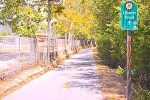 The Obern Trail Bike Path is a paved multi-use path that travels from the UC Santa Barbara (UCSB) campus south toward Santa Barbara. The trail goes through Goleta Beach Park and then a nice section alongside Atascadero Creek. Overall, the trail that we’ve mapped is 7.2 miles, with the nicest parts the 4.2 miles from USCB to Arroyo Rd. Pro Tip: Enjoy a bite at the classic Beachside Bar & Cafe at in Goleta Beach Park at the end of your run!




Review or Comment on This Route/Share a Photo!
Share your feedback on this route and see that of other Great Runs users. Click on the image icon to upload a photo. And please let us know if there are notes or changes we should incorporate!