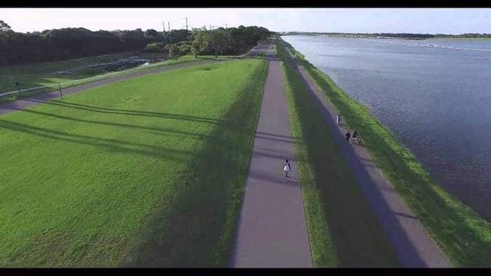
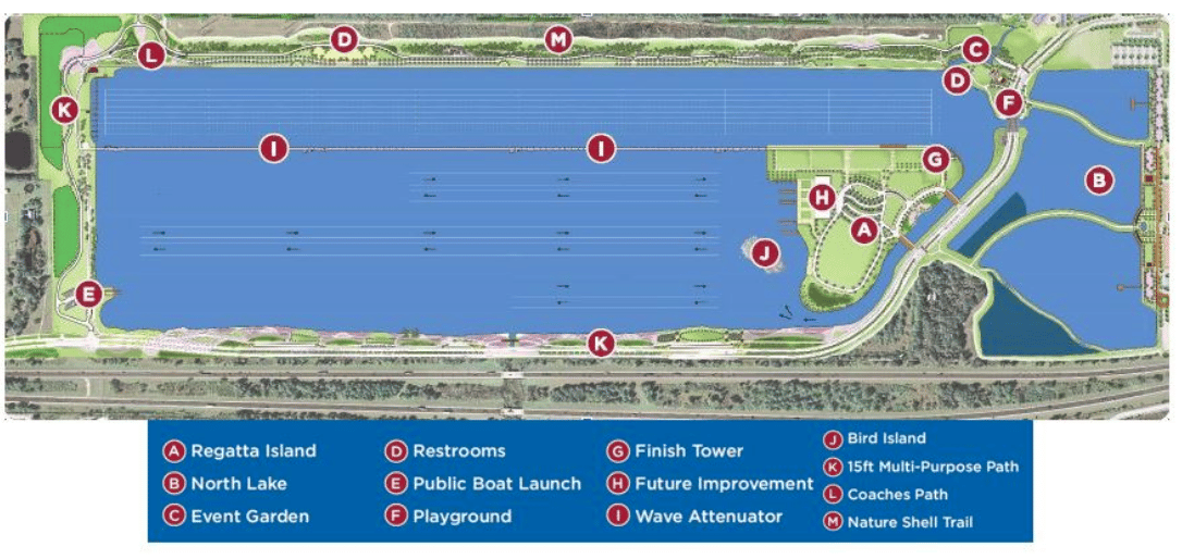
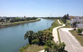
This has been a 600 acre public park since the 1990s, and is mainly a rowing facility. But there’s a nice path around the lake that makes for a good 5k+ loop. The eastern side of the manmade lake features a dedicated pedestrian/cycle path along a fairly busy road, while the western side is more bucolic.
The park is 8 miles east of downtown. Conveniently located near I-75 and Town Center mall.
This has been a 600 acre public park since the 1990s, and is mainly a rowing facility. But there’s a nice path around the lake that makes for a good 5k+ loop. The eastern side of the manmade lake features a dedicated pedestrian/cycle path along a fairly busy road, while the western side is more bucolic.
The park is 8 miles east of downtown. Conveniently located near I-75 and Town Center mall.
There's some pleasant running downtown. The area south of Fruitville Rd. to U.S. 41 has some pleasant, shaded side streets with nice homes. Main St. is fun, down the the water, as is the area just south of Fruitville to the waterside Arts Center.
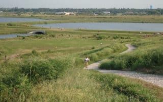
Former celery fields are now a combination water collection zone, restored wetlands area, birding spot, and recreation area. ~4 miles of perimeter trails around marshlands, ponds, canals, edged by oaks, willows, and pines. Hill running on Observation Hill.
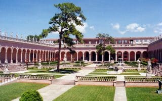
Near the Ringling Museum and the airport, this is an opportunity to run on some pleasant roads, incorporating some interesting Sarasota sites and lovely homes. Bay Shore Rd. is the anchor to this run from the New College of Florida to Indian Beach.
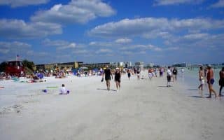
Named one of the best beaches in the United States, it's also great for running, with white, firm sand -- especially at low tide. The overall beach is 8 miles, but the best continuous section is ~3 miles south from Siesta Village. Mainly a beach run.
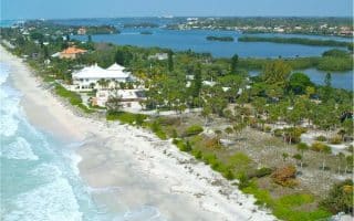
Pleasant, low traffic road, with good views to the Gulf of Mexico, and some spectacular waterside homes. Straight shot on Casey Key Rd., up to 6 miles one-way from the beach pavilion. It's also possible to run on the beach here.
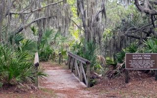
1,200 acre state park between Venice and Sarasota, with 15 miles of trails. Combination of paved bike trails and more rugged hiking trails. Nice spot for some shaded running. Popular kayaking & birding spot, and a swimmable lake!
A lovely paved trail that runs along both sides of the Intracoastal Waterway, from historic downtown Venice, south to the Shamrock Park Nature Center and Caspersen Beach. Can do a great a 10-mile loop, with good views of the water.
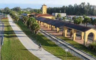
A 10.8 mile former rail line, now a paved recreation trail running from Venice, north toward Sarasota. Some shaded, foliated sections, pastureland, streams and rivers, and some more populated sections. Intersects with Oscar Sherer State Park at halfway point.
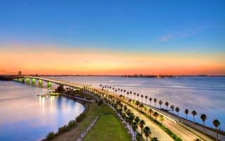
Possibly the most dramatic run in the Sarasota area, with great water views and even a bit of elevation! It's ~4 miles over the bridge to St. Armands Circle and back, with numerous add-on options.
Share your feedback on this route and see that of other Great Runs users. Click on the image icon to upload a photo. And please let us know if there are notes or changes we should incorporate!





Review or Comment on This Route/Share a Photo!
Share your feedback on this route and see that of other Great Runs users. Click on the image icon to upload a photo. And please let us know if there are notes or changes we should incorporate!