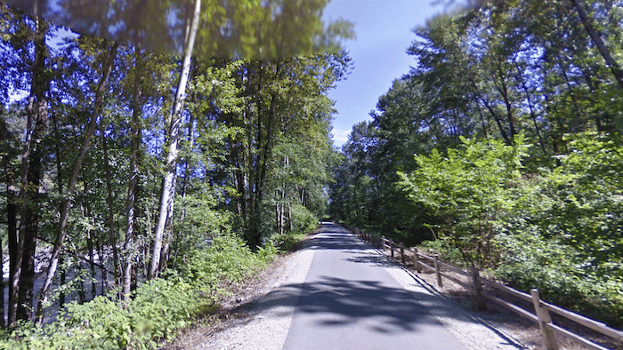
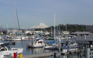
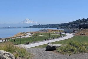
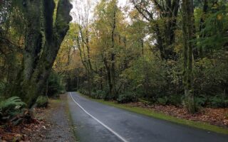
The Foothills National Recreation Trail is a worth-it spot for a destination run for those in the Tacoma area. Located in Tacoma’s eastern suburbs, the paved multi-use path follows along the Puyallup River and White River for about 21 miles, with intermittent river views and some glimpses of towering Mt. Rainier.
The western terminus is in East Puyallup, as shown in the trail map. The eastern terminus is near the Buckley Trailhead.


Review or Comment on This Route/Share a Photo!
Share your feedback on this route and see that of other Great Runs users. Click on the image icon to upload a photo. And please let us know if there are notes or changes we should incorporate!