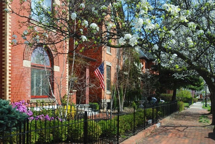
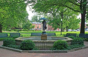
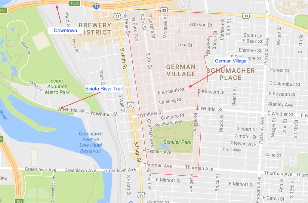
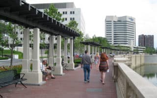
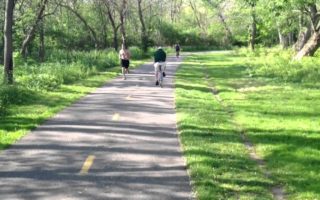
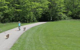
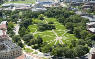
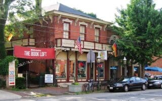
 German Village is a neighborhood just south of downtown and east of the Brewery district that was settled in the early-to-mid 19th century by mainly German immigrants. There is a lot of interesting Italianate architecture, winding streets with brick sidewalks, historic buildings, and alleys. Schiller Park is located in the center, and has lovely paths that in all make for about 1/2 mile of running. In all, the neighborhood is 230 acres. Rather than proscribe a specific route, we encourage a leisurely ‘touring’ run of the area. Especially nice, early, before stores open and the sidewalks are crowded. Be cautious about your footing on those brick sidewalks! Can combine with a run downtown. It’s about 1.5 miles from the State Capitol, taking S. 3rd St. You cal also cross I-71 from on a pedestrian bridge, just east of S. 4th St., into German Village.


Review or Comment on This Route/Share a Photo!
Share your feedback on this route and see that of other Great Runs users. Click on the image icon to upload a photo. And please let us know if there are notes or changes we should incorporate!