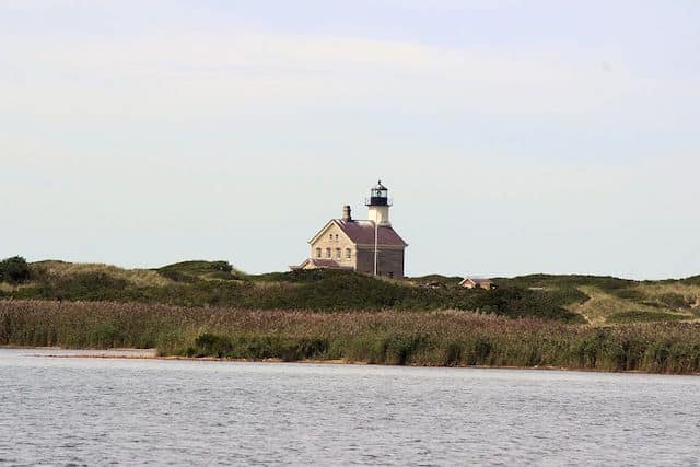
A coastal New England run just wouldn’t be a coastal New England run if it didn’t include lighthouses and roads with names like “Corn Neck.” Corn Neck Road, which runs all the way up the island’s Northern spit, has a nice stretch of paved shoulder and iconic Block Island views, including the Great Salt Pond, Sachem Pond, and Grove Point, before meeting up with a seaside trail that will carry you all the way to North Lighthouse, the island’s extreme north point. Take a break at the Sacred Labyrinth, a narrow circular walkway lined with stones meant for a peaceful walking meditation.
The full route is 9.4 miles out and back from downtown. The most scenic section is the 3 mile out and back section from the Block Island National Wildlife Refuge to the North Lighthouse. The views from Sandy Point seriously deliver. Note: Sections of Corn Neck Rd. don’t have much of a shoulder, but traffic is not too bad. Also, the trail to the lighthouse can be a bit soft in sections.
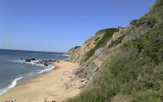
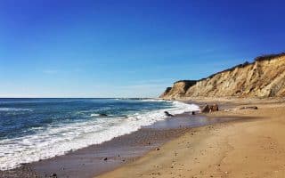
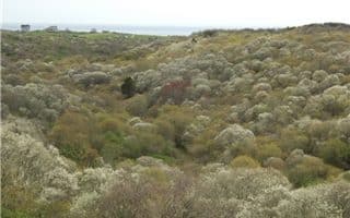
Add-On/Detour: Run out to Clay Head, or get lost in ‘The Maze’. Trail heads east off Corn Neck Rd., opposite the Wildlife Refuge.
Clay Head Route


Review or Comment on This Route/Share a Photo!
Share your feedback on this route and see that of other Great Runs users. Click on the image icon to upload a photo. And please let us know if there are notes or changes we should incorporate!