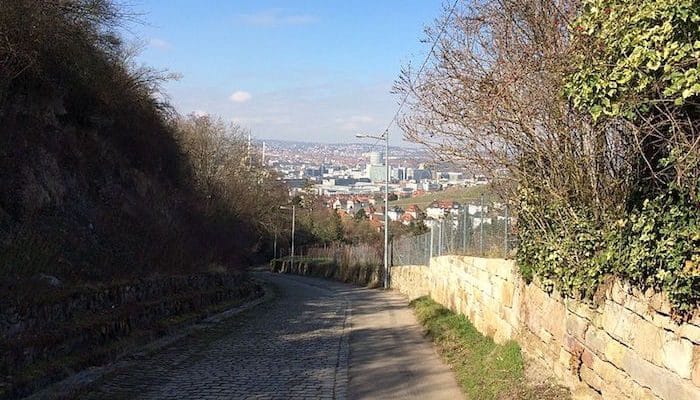
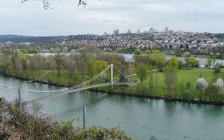
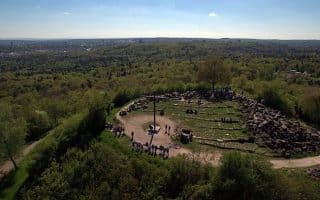
The Rösslesweg is a roughly 50 km, hilly hiking/running loop surrounding the city of Stuttgart. While most runners (with the exception of ultra-marathoners) probably won’t want to take on the whole of the trail in one run, the track is a good reference for finding routes all around the city. With such close proximity to downtown, it’s easy to run a leg of any distance, then hop on a bus or 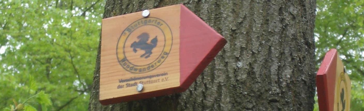 tram to return. The Rösslesweg utilizes paved trails, city sidewalks, and quiet roads, including some lovely stretches of elevation overlooking the Neckar River. To follow the trail, find the red arrow signs marked “Stuttgarter Rundwanderweg.” Some favorite sections include Bad Cannstatt to Untertuerkheim (close to the Neckar River Path), and the Birkenkopf (listed as a separate route here). Note: Some sections very hilly!
This site has good information on the Rundwanderweg, with recommendations on segments and an altitude profile.


Review or Comment on This Route/Share a Photo!
Share your feedback on this route and see that of other Great Runs users. Click on the image icon to upload a photo. And please let us know if there are notes or changes we should incorporate!