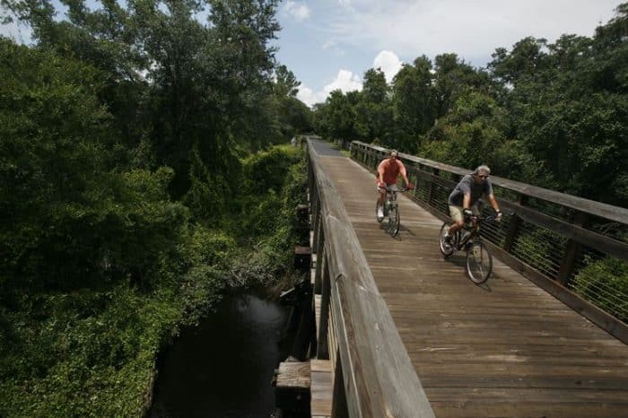
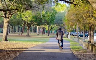
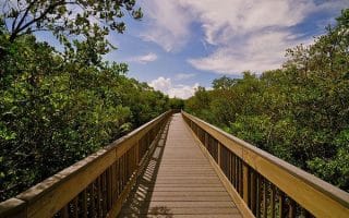
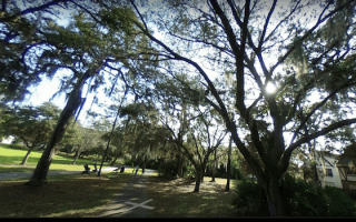
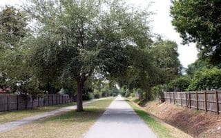
This scenic paved trail with more of an urban feel stretches for nearly 6 miles from Waters Ave. at south to ending at Peterson Road Park at north. It is located ~12 miles west of downtown Tampa and ~4 miles west of Tampa International Airport. It features underpasses, overpasses and bridges, and has only two cross streets. There are markers in every half mile and water fountains & restrooms along the trail. NEW: ~2 miles at the south end, from Linebaugh Ave. to Memorial Ave.
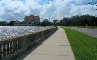
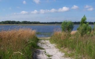
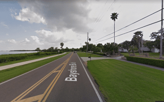
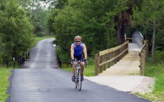
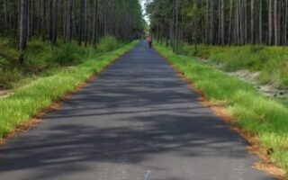
There’s also a short, non-contiguous section through Brooker Creek Nature Preserve that connects with the Suncoast Trail, which is a paved, not very scenic trail that runs for a long distance alongside the Suncoast Highway. TRAIL MAP
This scenic paved trail with more of an urban feel stretches for nearly 6 miles from Waters Ave. at south to ending at Peterson Road Park at north. It is located ~12 miles west of downtown Tampa and ~4 miles west of Tampa International Airport. It features underpasses, overpasses and bridges, and has only two cross streets. There are markers in every half mile and water fountains & restrooms along the trail. NEW: ~2 miles at the south end, from Linebaugh Ave. to Memorial Ave.
There’s also a short, non-contiguous section through Brooker Creek Nature Preserve that connects with the Suncoast Trail, which is a paved, not very scenic trail that runs for a long distance alongside the Suncoast Highway. TRAIL MAP


Review or Comment on This Route/Share a Photo!
Share your feedback on this route and see that of other Great Runs users. Click on the image icon to upload a photo. And please let us know if there are notes or changes we should incorporate!