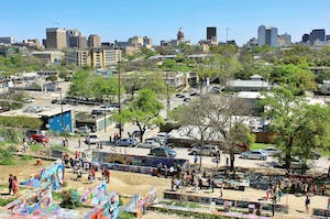
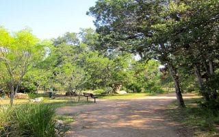
This is a favorite 6-mile route of an Austin local, incorporating some of the best, centrally-located sections of the Lady Bird Lake Trail and passing by some fun Austin sites: an old stone windmill marking a former homestead, the graffiti park at Castle Hill, and the original Whole Foods!
Graffiti Park at Castle Hill. Justraveling.com
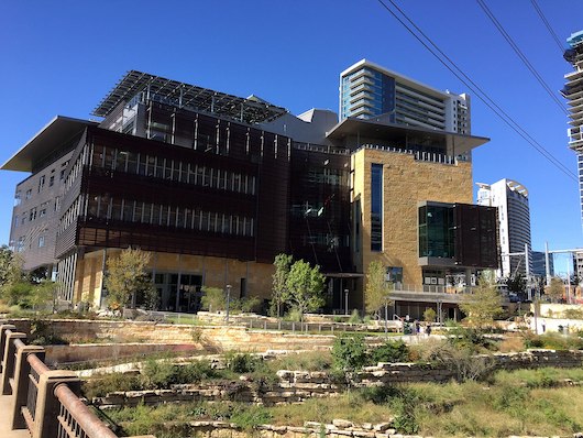
Start at Austin’s newspaper: the Austin American-Statesman—, on the south side of the Congress Ave. Bridge (or anywhere convenient), and run west for 1/2 mile to the Pfluger Pedestrian Bridge, where you’ll do a quick jaunt over the water. Continue west for another mile along the Lady Bird Lake Trail, through Lamar Beach Metro Park, to Highway 1/MoPac Bridge. Run north along a section of the Johnson Creek Greenbelt paralleling the main road for 1 mile (this section a solid hill!) to the Stone Windmill at Enfield Rd. Then, cross the road to head back east along Enfield Rd. for 1/2 mile. Turn right on W. Lynn St, and run south through the Clarksville neighborhood for 1/4 mile. Turn left at 12th St., in front of Nau’s Enfield Drug, and run east 1/2 mile to N. Lamar Blvd. Turn RIGHT on N. Lamar Blvd. to run south, passing the graffiti park at Castle Hill at the 1100 block. At the 900 block, you’ll see the site of the original Whole Foods. At the 500 block, you will see the present-day Whole Foods world headquarters. For the final section, turn LEFT on W. 5th, to briefly join a section of the Shoal Creek Trail heading toward the water, passing the spectacular, modern Austin Central Library, which opened in 2017.
This is a favorite 6-mile route of an Austin local, incorporating some of the best, centrally-located sections of the Lady Bird Lake Trail and passing by some fun Austin sites: an old stone windmill marking a former homestead, the graffiti park at Castle Hill, and the original Whole Foods!
Graffiti Park at Castle Hill. Justraveling.com
Start at Austin’s newspaper: the Austin American-Statesman—, on the south side of the Congress Ave. Bridge (or anywhere convenient), and run west for 1/2 mile to the Pfluger Pedestrian Bridge, where you’ll do a quick jaunt over the water. Continue west for another mile along the Lady Bird Lake Trail, through Lamar Beach Metro Park, to Highway 1/MoPac Bridge. Run north along a section of the Johnson Creek Greenbelt paralleling the main road for 1 mile (this section a solid hill!) to the Stone Windmill at Enfield Rd. Then, cross the road to head back east along Enfield Rd. for 1/2 mile. Turn right on W. Lynn St, and run south through the Clarksville neighborhood for 1/4 mile. Turn left at 12th St., in front of Nau’s Enfield Drug, and run east 1/2 mile to N. Lamar Blvd. Turn RIGHT on N. Lamar Blvd. to run south, passing the graffiti park at Castle Hill at the 1100 block. At the 900 block, you’ll see the site of the original Whole Foods. At the 500 block, you will see the present-day Whole Foods world headquarters. For the final section, turn LEFT on W. 5th, to briefly join a section of the Shoal Creek Trail heading toward the water, passing the spectacular, modern Austin Central Library, which opened in 2017.
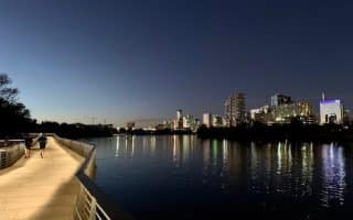
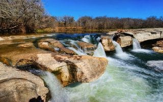
The signature trail in Austin, with 10 miles of trail on each side of the Colorado River. Combination of paved and gravel. Some sections more shaded and park-like. Highlights are the boardwalk section on the south side, and the 'bat bridge'!
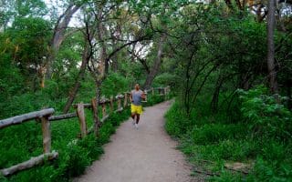
A great trail running opportunity accessible from central Austin. Starting at Ziker Park, extends for 7.4 miles one-way, with offshoot options. It's quite rocky, and gets progressively more challenging.
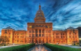
A great 4+ mile route combining downtown, the Capitol, and the UT Austin campus. A straight shot up Congress St., and then the main pedestrian path through campus called the Speedway. Good add-on options.
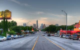
A 'hipster' run along the fun and eclectic sections of South Congress St. Won't qualify as the most scenic run ever, but it's entertaining, with lots of fun shops and restaurants, and a wide sidewalk. Good residential side street options.
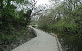
A pleasant trail that is basically a linear park. Southern end is downtown, northern end is near the UT campus. Paved and unpaved surfaces. Note some sections of trail have been re-routed due to storm damage.
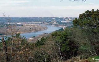
A nice, 7.7 mile out and back run that provides an idea of some of the hills in the northwest part of Austin. Some sections of Lake Austin Blvd. are nicer than others for running. Scenic Dr. to Mt. Bonnell is another good option
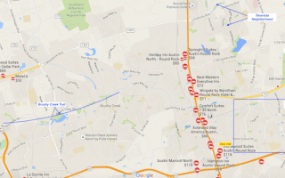
20 miles north of downtown, Round Rock is the home of Dell’s corporate HQ and many other tech companies. Our guide to some of the best running spots in the area.
20 miles northwest of downtown Austin, the Lakeway area provides some great opportunities for running. There are pretty and very hilly residential roads.
Some of the nicest residential neighborhoods for running in Austin are: Mueller, just east of downtown; Old West Austin and Tarrywown, just west of UT and the Capitol; and Terravista and Forest Creek in Round Rock
Share your feedback on this route and see that of other Great Runs users. Click on the image icon to upload a photo. And please let us know if there are notes or changes we should incorporate!
Subscribe
0 Comments
Oldest
Newest
Inline Feedbacks
View all comments
Essentials
6 mile (9.6 km) loop
221 feet (67 meters) -- most of it on climb along Johnson Creek Greenbelt

Review or Comment on This Route/Share a Photo!
Share your feedback on this route and see that of other Great Runs users. Click on the image icon to upload a photo. And please let us know if there are notes or changes we should incorporate!