In the southern part of Sherbrooke, there’s some nice running around the University of Sherbrooke campus and the hilly, wooded trails of Mont-Bellevue. Run them separately or combined!
Université de Sherbrooke
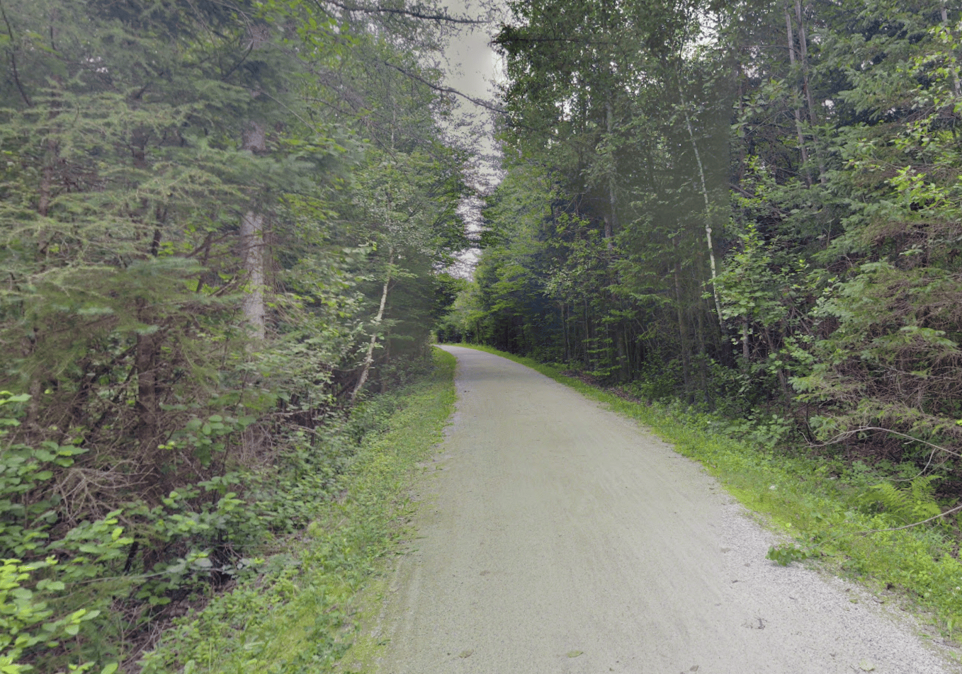
The univeristy has a decent network of pedestrian paths. It’s ~1 km east-west and ~1 km north south, in the area east of Highway 216. There’s a great running track at the southern end of campus.
Google Street View
Parc Mont-Bellevue
This park, the largest in Sherbrooke, is located just east of the university. It’s a popular spot for walking, hiking, running, mountain biking — and downhill/XC skiing in winter (there are two lifts). A loop of the paths is ~5 km, with 80m elevation gain — there are a couple of steep sections, but for the most part the path is gradual. It’s a wide path, almost like a dirt road. It’s fun to run to the cross (Croix) at the top. Access to the trail is off Rue Gelt, at the lifts, or the Dunant parking lot. This trail map is a helpful resource. Notes: This is a popular mountain biking area. The trail map indicates which trails are pedestrian-only. Also, the trails are used for skiing in winter.
In the southern part of Sherbrooke, there’s some nice running around the University of Sherbrooke campus and the hilly, wooded trails of Mont-Bellevue. Run them separately or combined!
Université de Sherbrooke
The univeristy has a decent network of pedestrian paths. It’s ~1 km east-west and ~1 km north south, in the area east of Highway 216. There’s a great running track at the southern end of campus.
Google Street View
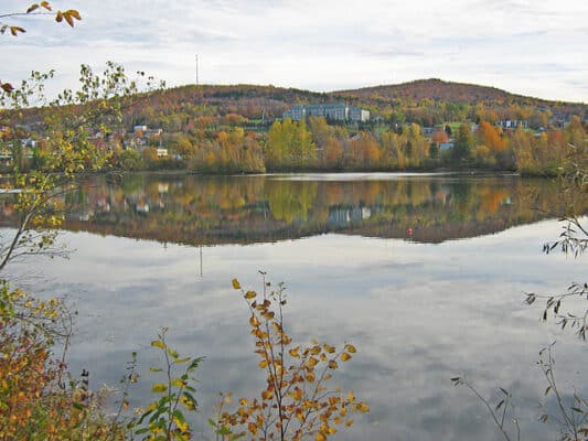
Parc Mont-Bellevue
This park, the largest in Sherbrooke, is located just east of the university. It’s a popular spot for walking, hiking, running, mountain biking — and downhill/XC skiing in winter (there are two lifts). A loop of the paths is ~5 km, with 80m elevation gain — there are a couple of steep sections, but for the most part the path is gradual. It’s a wide path, almost like a dirt road. It’s fun to run to the cross (Croix) at the top. Access to the trail is off Rue Gelt, at the lifts, or the Dunant parking lot. This trail map is a helpful resource. Notes: This is a popular mountain biking area. The trail map indicates which trails are pedestrian-only. Also, the trails are used for skiing in winter.
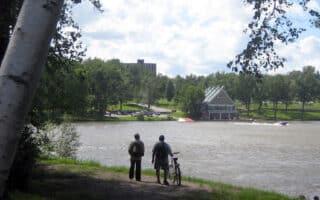
A loop of up to 13 km along both sides of the Magog River, through a series of parks. Best water views are around Lac des Nations (3.5 km loop). Numerous options for longer/shorter.
A 9 km path along the Saint-François River, labeled 'Route Verte". Several parks, some wooded sections, some water views. Mostly dedicated path, some sidewalk. Can be combined with Magog River path & other Sherbrooke routes.
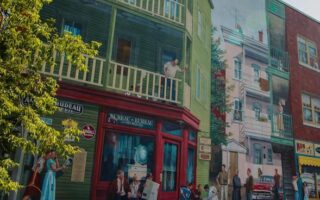
A 'runseeing' tour of Sherbrooke's famous murals. 4.4 km, 16 murals. For a longer run, we've added a route around the adjacent, hilly Old North Ward neighborhood, which has tree-lined streets and nice older homes.
Share your feedback on this route and see that of other Great Runs users. Click on the image icon to upload a photo. And please let us know if there are notes or changes we should incorporate!
Subscribe
0 Comments
Oldest
Newest
Inline Feedbacks
View all comments
Essentials
Mont-Bellevue loop is ~5 km
80m (263 feet)
For university: central campus. Mont-Bellevue start is off Rue Glet
Access to the Mont Belleveue is off Rue Gelt, at the lifts, or the Dunant parking lot.

Review or Comment on This Route/Share a Photo!
Share your feedback on this route and see that of other Great Runs users. Click on the image icon to upload a photo. And please let us know if there are notes or changes we should incorporate!