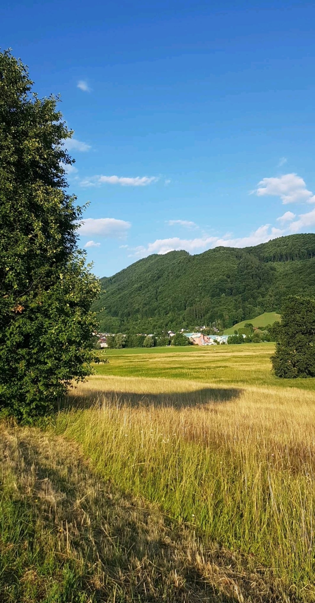
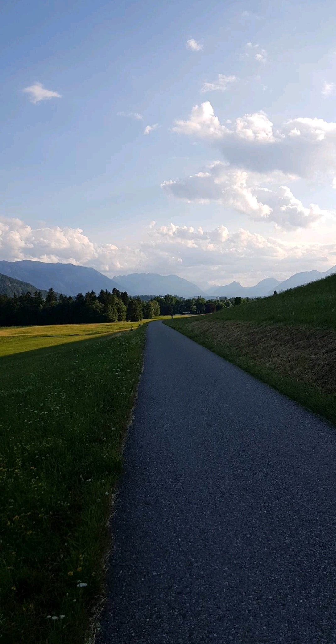
Just north of the city centre but inside the A1 highway, the Söllheimer Wanderweg is one of the best options for a fairly easy, scenic off-road run in Salzburg. The paved multi-use path features gorgeous views from the grassy valley to surrounding mountains and through pockets of forest. The route is up to 7.2 km one-way, with a couple of short on-road sections. Our thanks to Laurie Ellicott for suggesting this route!
Laurie Ellicott
The trailhead closest to Salzburg is off Samstraße. Heading east, the trail is also called Ischlerbahnweg. Even though the trail is fairly close to the main highway for much of the time, the scene is still pastoral. The east end is at Reicherting in Eugendorf, near the hotel Holznerwirt. For the return, there’s an option to use the adjacent Reicherting trail for ~1 km.
Scroll Down For Route Maps
Essentials
Up to 7.2 km (4.5 miles) one-way; 14.4 km out & back
130m (428 feet) out and back == gradual uphill headed east
Off Samstraße
Bus Access. It's also 2 km east of the M.Plain-Plainbrücke S-Bahn station
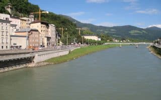
Among the highlights of running in Salzburg. Combination of paved and unpaved paths, for several km north and south of the city. Quite pastoral, with river views. We've put together two routes, as well as a table with segment distances.
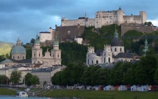
A run along up a pedestrian path to Mönchsberg, one of the 5 mountains in Salzburg. Enjoy hilltop views from the 11th century Hohensalzburg Fortress. Also includes some of Salzburg's architectural and cultural highlights.
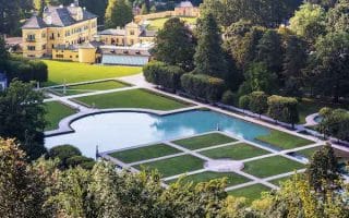
A gorgeous, pastoral run out to the 17th century Hellburn Palace, famous for its grounds. To approach the palace, you'll run for 4 km along tree-lined Hellbrunner Allee, a paved and gravel pedestrian path, passing farms and interesting buildings.
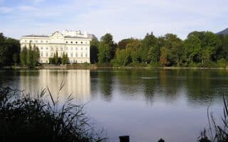
For a nice and relatively flat run near the center of Salzburg, enjoy our 'parks and lakes' tour. 2 km lake perimeter, Hans Donnenberg Park, Botanical Gardens, historic Schloss Freisaal Palace.
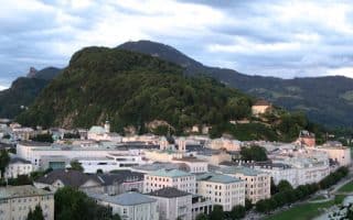
Kapuzinerberg is the other hill close to Salzburg city center, and a popular recreation spot. It's a steeper, more rugged run/hike, climbing 200m in 1.3 km. Mainly wooded paths, it's 2.8 km from one end to the other. Can be combined with other routes. HILLY!
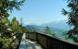
The "balcony of Salzburg" is a 5.2 km circuit around the mid-point of this 2,600 foot mountain only a few km from the city. Hilly and beautiful, with great views! If you'd like to tackle the summit, it's 2.3 km from the hotel, super steep!
Share your feedback on this route and see that of other Great Runs users. Click on the image icon to upload a photo. And please let us know if there are notes or changes we should incorporate!
Subscribe
0 Comments
Oldest
Newest
Inline Feedbacks
View all comments
Essentials
Up to 7.2 km (4.5 miles) one-way; 14.4 km out & back
130m (428 feet) out and back == gradual uphill headed east
Off Samstraße
Bus Access. It's also 2 km east of the M.Plain-Plainbrücke S-Bahn station


Review or Comment on This Route/Share a Photo!
Share your feedback on this route and see that of other Great Runs users. Click on the image icon to upload a photo. And please let us know if there are notes or changes we should incorporate!