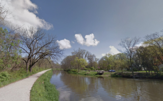
There’s some nice waterfront running in Elkhart, a city located 15 miles east of South Bend and part of the greater metropolitan statistical area. The two routes can be combined for a 10-miler!
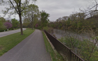
St. Joseph River & Elkhart River Paths. This is a pleasant 2.7 mile loop from City Park in downtown Elkhart, taking advantage of the scenic area at the confluence of the two rivers. From City Island Park, run north for 0.5 miles, then bear right to do a short spur to Heritage Trail Island Park. Retrace your steps, then continue north todo a loop of the High Dive Pavillion area, looping around Island Park and then back along the west bank of the river. ROUTE MAP
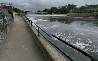
River Greeenway Trail. This more conventional route follows the Elkhart River south from City Center Park for up to 3.5 miles to a trailhead at E Lusher Ave. It’s a mix of separated trail and some on-road sections. The prettiest parts are through American Park & Studebaker Park (additional trails). Can be combined with above route for a longer run. ROUTE MAP
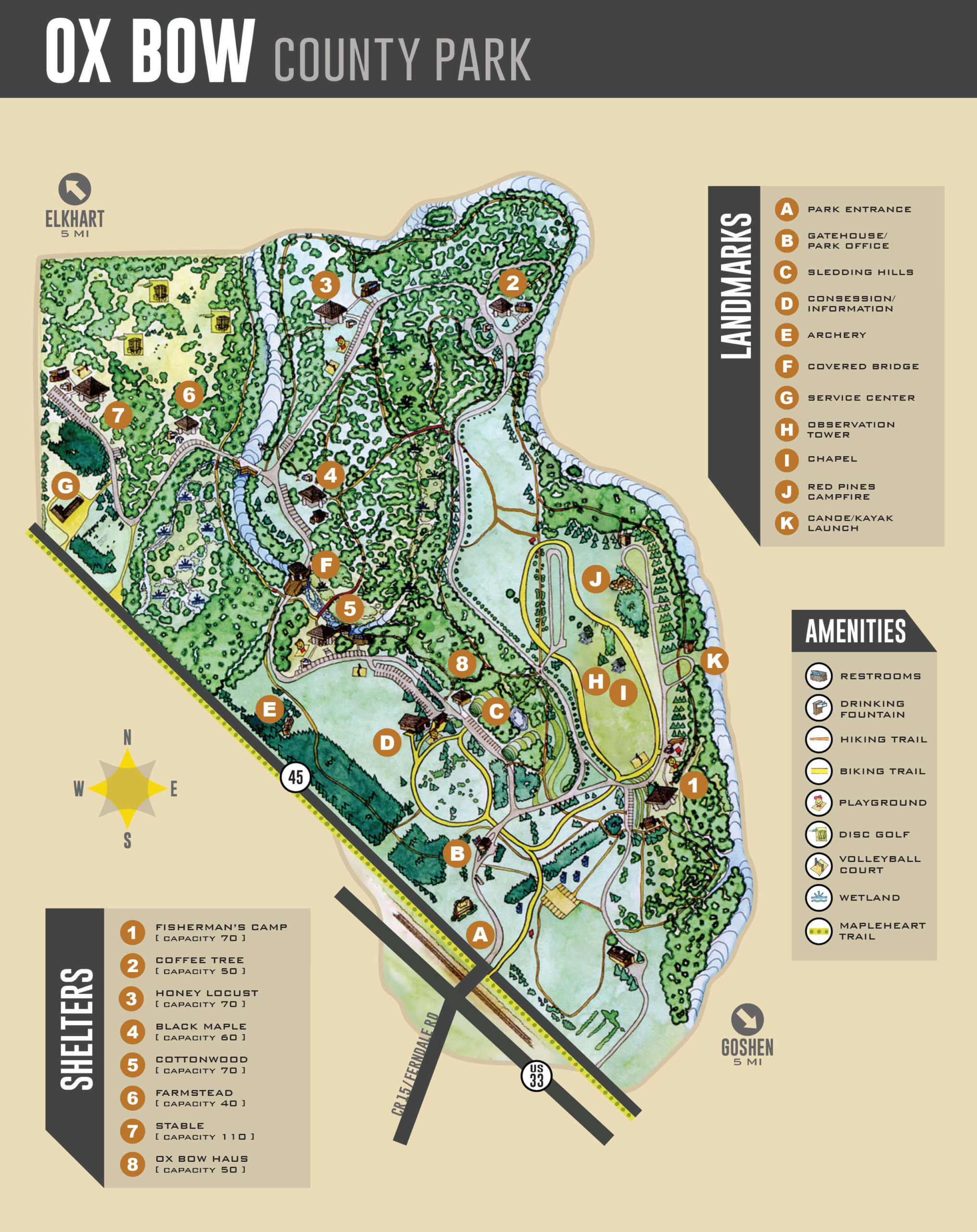
Ox Bow County Park. Pleasant park between Goshen & Elkhart with 2-3 miles of trails, including hiking trails & a bicycle trail. PARK MAP
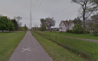
MapleHeart Trail to Goshen. Not the most scenic run, but a good way to clock in some flat, off-road miles. This paved trail is more of a sidewalk alongside busy County Road 45, and runs for 6.3 miles between Elkhart & Goshen. ROUTE MAP
There’s some nice waterfront running in Elkhart, a city located 15 miles east of South Bend and part of the greater metropolitan statistical area. The two routes can be combined for a 10-miler!
St. Joseph River & Elkhart River Paths. This is a pleasant 2.7 mile loop from City Park in downtown Elkhart, taking advantage of the scenic area at the confluence of the two rivers. From City Island Park, run north for 0.5 miles, then bear right to do a short spur to Heritage Trail Island Park. Retrace your steps, then continue north todo a loop of the High Dive Pavillion area, looping around Island Park and then back along the west bank of the river. ROUTE MAP
River Greeenway Trail. This more conventional route follows the Elkhart River south from City Center Park for up to 3.5 miles to a trailhead at E Lusher Ave. It’s a mix of separated trail and some on-road sections. The prettiest parts are through American Park & Studebaker Park (additional trails). Can be combined with above route for a longer run. ROUTE MAP
Ox Bow County Park. Pleasant park between Goshen & Elkhart with 2-3 miles of trails, including hiking trails & a bicycle trail. PARK MAP
MapleHeart Trail to Goshen. Not the most scenic run, but a good way to clock in some flat, off-road miles. This paved trail is more of a sidewalk alongside busy County Road 45, and runs for 6.3 miles between Elkhart & Goshen. ROUTE MAP


Review or Comment on This Route/Share a Photo!
Share your feedback on this route and see that of other Great Runs users. Click on the image icon to upload a photo. And please let us know if there are notes or changes we should incorporate!