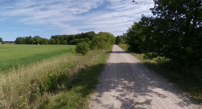
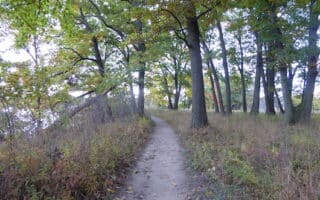
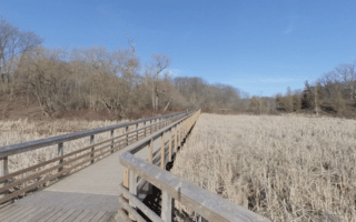
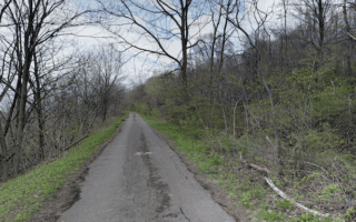
Those looking for a straightforward off-road run should choose a section of the Hamilton-Brantford Rail Trail. The multi-use path starts at Ewen Rd., just west of McMaster University, and heads west for 37 km to Brantford. The stone dust path passes through the rolling farmland terrain of the Dundas Valley. The trail is fairly flat, except for a gradual 140m climb between km 5 and km 14. A few key distances, starting in Hamilton and headed west (km/mi):
5 km/3.1 miles: Sanctuary Park
8 km/5 miles: Dundas Valley Trail Center (lots of hilly running/mountain biking trails)
15 km/25 miles: Summit Muskeg Preserve
21 km/13 miles: Jerseyville
31 km/23 miles: Brantford Terminus of Trail, at Colborne St. E & Rt. 18.
31 km to 37 km: Continue for 6 km on the Gainsville Trail along Mohawk Lake and then the Forest Rd. Trail into central Brantford.
From there, continue for another 6 km along the Gainsville Trail along Mohawk Lake and then the Forest Rd. Trail into central Brantford.

Review or Comment on This Route/Share a Photo!
Share your feedback on this route and see that of other Great Runs users. Click on the image icon to upload a photo. And please let us know if there are notes or changes we should incorporate!