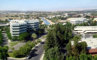
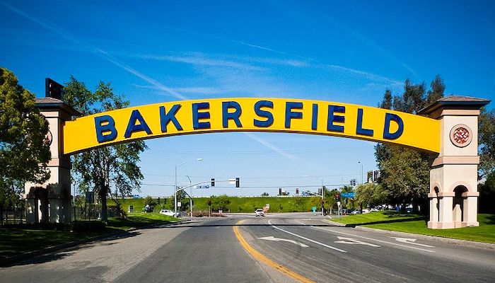
Bakersfield is an agricultural hub, located near the southern end of the San Joaquin Valley on the banks of the Kern River, 110 miles north of Los Angeles. The city is surrounded by the the Sierra Nevada, Greenhorn, and Tehachapi mountain ranges, while Sequoia National Forest is just to the north. This ancestral land of Yokuts peoples is also home to a California State University campus, which contributes to a limited but memorable running scene in Bakersfield.
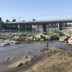
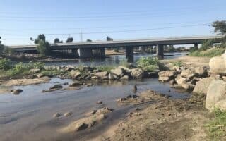
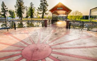
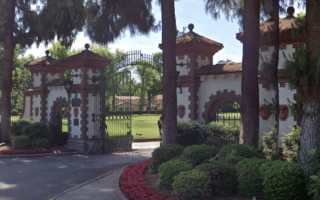
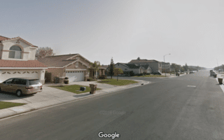
The best place to run in Bakersfield is the 20 mile Kern River Parkway Trail. However, more great paths can be found at CSU Bakersfield, Hart Park, and Central Park at Mill Creek. For road running, the Stockdale Country Club and Terra Vista neighborhoods offer pleasant streets and impressive homes. We’ve also developed a separate running guide for Sequoia and Kings Canyon National Park.
Bakersfield is accessible via the Meadows Field Airport and the San Joaquin Amtrak Route. Once visitors arrive in the city, the most reliable form of public transportation is the Golden Empire Transit District Bus (GET Bus) system, although driving is popular too.