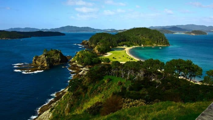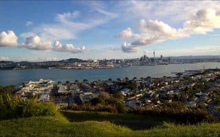
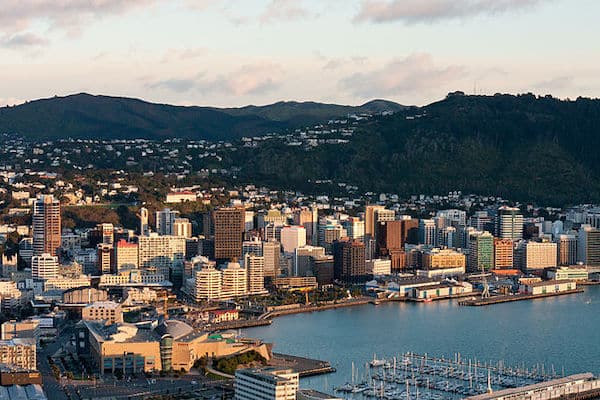
Wellington, New Zealands’ capital and third largest city, is located at the south-western tip of the North Island, on the Cook Strait. This compact city encompasses a waterfront promenade, sandy beaches, a working harbour and colourful timber houses on surrounding hills. The Wellington urban area comprises four cities: Wellington City, Wellington Harbour, Porirua, and the Hutt Valley. Running in Wellington is a pleasure – there are gorgeous waterfront paths, large parks, and nearby hills that are great for trail running.
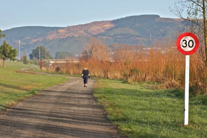
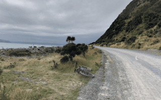
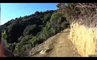
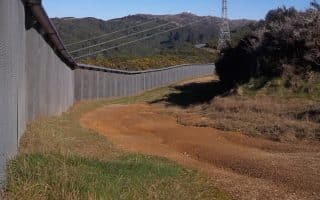
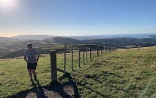
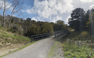
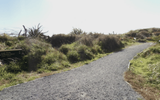
The best places to run in Wellington showcase the waterfront. Enjoy a section of the 30 km Bays Route, the north end of Wellington Harbour along the Petone Esplanade, or the eastern side of the Harbour on the 13 km Great Harbour Way. For some hills and trails, enjoy the Botanical Gardens & Tinakori Hill, Victoria Peak, the Eastern Hills, Belmont Regional Park, and the Zealandia Pathway. In Porirura, it’s hilly & rugged on the west side, but we love the nice network of forested trails in Bothamley Park on the east side. For a destination run, drive or take the train to Waikanae for 7+ km of paths along the river and around an estuary.
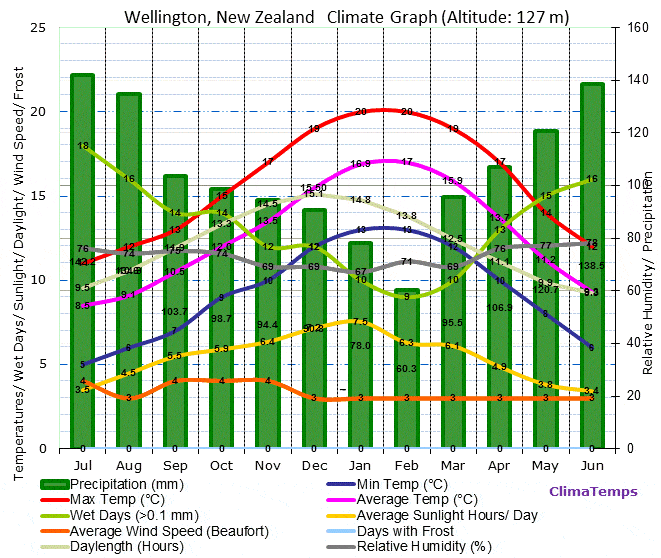
Wellington has a good network of buses and also trains that head to the suburbs. Metlink has an easy to use journey planner. Note that Wellington’s mild climate is famous for being very windy nearly year-round.