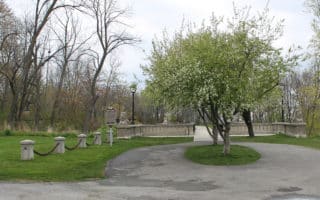
This route follows the paved Oak Leaf Trail south along Lake Michigan, through two parks and with great water views and views of the city. Start at the top of Bay View Park, located on the south shore of Milwaukee about 5 miles south of downtown. The trail enters Sheridan Park with a magnificent vista, near two large condominium complexes. There is a small hill that sweeps down from the bluffs, around the condos, and back up. The route ends at Grant Park. If you want to add some extra distance, Grant Park features the Seven Bridges Trail, which takes you through a wooded ravine, and seven bridges which cross a brook that spills out into Lake Michigan. The entrance is marked b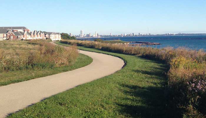 y a Covered Bridge. It’s famous for the sign at the trailhead reading: “Enter this wild wood and view the haunts of nature.”
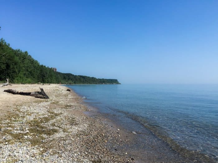
There are some great beaches in the parks if you’d like to take a dip. And if you’d like to run this trail one way, the #48 bus runs between Bay View Park and Grant Park. See our maps for more info about the parks.


Review or Comment on This Route/Share a Photo!
Share your feedback on this route and see that of other Great Runs users. Click on the image icon to upload a photo. And please let us know if there are notes or changes we should incorporate!