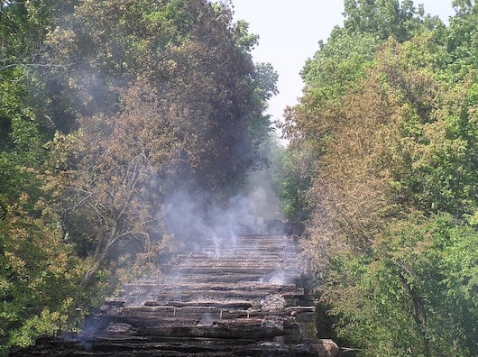
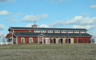
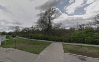
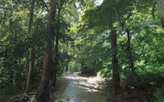
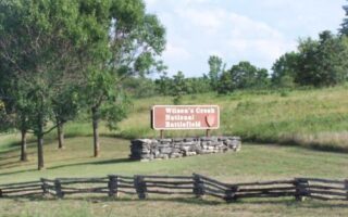
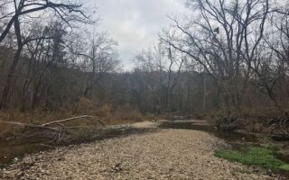
The Frisco Highline Trail is a rails-to-trails trail that runs for 37 miles between Springfield and Bolivar. The trail is a mix of residential neighborhoods near Springfield, and then a mix of open farmland and some wooded sections. Headed north, this multi-use trail is paved for miles 1-8 and 33-37, and gravel for the remainder. TrailLink has a very detailed description of the trail.
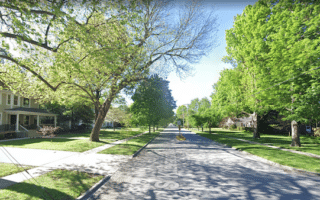
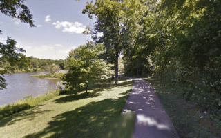
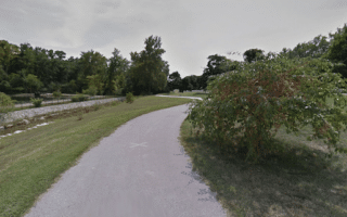
In Springfield, the trail starts at W. Kearney St. near the intersection of I-44 & Highway 160. It’s a gentle downhill slope headed north. The first 6 miles to Willard are more suburban & commercial. Here, the next 22 miles are unpaved, and are a mix of wooded and open. Miles 25-35 headed north have some lovely sections of open farmland. The last 4 miles near Bolivar are paved.
The Frisco Highline Trail is a rails-to-trails trail that runs for 37 miles between Springfield and Bolivar. The trail is a mix of residential neighborhoods near Springfield, and then a mix of open farmland and some wooded sections. Headed north, this multi-use trail is paved for miles 1-8 and 33-37, and gravel for the remainder. TrailLink has a very detailed description of the trail.
In Springfield, the trail starts at W. Kearney St. near the intersection of I-44 & Highway 160. It’s a gentle downhill slope headed north. The first 6 miles to Willard are more suburban & commercial. Here, the next 22 miles are unpaved, and are a mix of wooded and open. Miles 25-35 headed north have some lovely sections of open farmland. The last 4 miles near Bolivar are paved.

Review or Comment on This Route/Share a Photo!
Share your feedback on this route and see that of other Great Runs users. Click on the image icon to upload a photo. And please let us know if there are notes or changes we should incorporate!