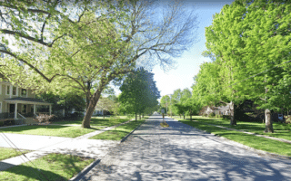
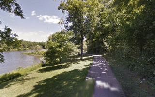
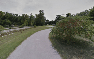
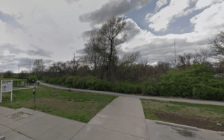
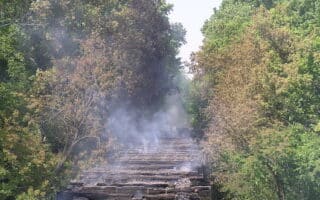
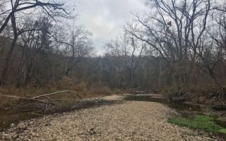
The Ozarks Greenways Trail is a paved multi-use trail following the the South Dry Sac River in the northern part of Springfield. Of the numerous multi-use trails in Springfield, it’s among the more wooded. The eastern end of the trail is at Greenlawn Cemetery, just west of N State Highway H. The trail then heads northwest for 5 miles, passing through Fulbright Spring Park (additional trail there), ending at the David C. Murray Park Trailhead at Highway 13.
The Ozarks Greenways Trail is a paved multi-use trail following the the South Dry Sac River in the northern part of Springfield. Of the numerous multi-use trails in Springfield, it’s among the more wooded. The eastern end of the trail is at Greenlawn Cemetery, just west of N State Highway H. The trail then heads northwest for 5 miles, passing through Fulbright Spring Park (additional trail there), ending at the David C. Murray Park Trailhead at Highway 13.


Review or Comment on This Route/Share a Photo!
Share your feedback on this route and see that of other Great Runs users. Click on the image icon to upload a photo. And please let us know if there are notes or changes we should incorporate!