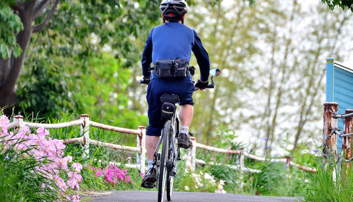
The 20 km path along the Tsurumi River is the best option for a long, off-road run in Yokohama. This paved cycling lane along the water provides ample room for all users, and is a great tour of the residential areas and daily life of Yokohama city. There are paths on either side of the river bank, allowing for various loop options. The path is not bucolic in all areas — there are some industrial sections and there aren’t always ‘water views’. The east end of the path starts near the mouth of the river in Tsurumi Ward, and continues for 21 km, where the waterway merges with the Onda River. We’ve mapped the entire 42.5 km loop, out and back.
Some distances, from the eastern terminus: 4 km to Tsukuno Park, 6 km to Highway 1, 10 km to Tsurumigawa Tarumachi Park, and 15 km to Shin-Yokohama Park. Paths continue north and south from Shin-Yokohama Park along tributaries, while the main river path reaches west into Midori Ward. At the Onda river, the path continues still further along the Onda and the Tsurumi, but narrows and is not as well maintained.


Review or Comment on This Route/Share a Photo!
Share your feedback on this route and see that of other Great Runs users. Click on the image icon to upload a photo. And please let us know if there are notes or changes we should incorporate!