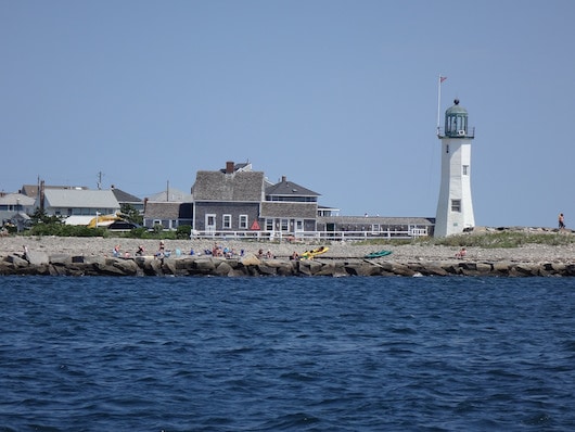
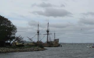
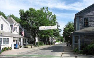
Scituate is a pretty coastal town located between Boston and Plymouth. There is very nice waterside running here, using Oceanside Rd. & Jericho Rd. to run out to the historic Scituate Lighthouse and past the Scituate Harbor and Marina. There’s also an option to make this a longer run by adding First & Second Cliff.
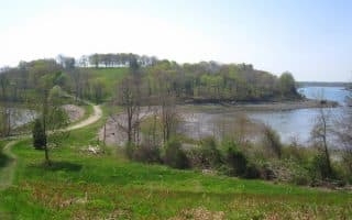
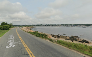
Our main mapped route is 6.6 miles out & back. Start at Oceanside Rd. off 1st Ave. Head south for 1 mile, as Oceanside turns into Turner Rd. You’ll then do a ~1 mile loop around Cedar Point, out to the Lighthouse, using Lighthouse Rd. & Rebecca Rd. Nice water views much of the way, and some pretty homes. This area of Scituate tends to get battered during “Nor’easter” storms, and you’ll see evidence of homes on pilings, sea walls, and debris.
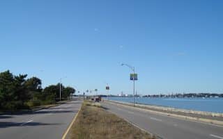
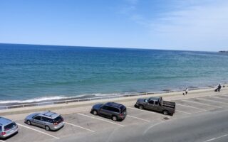
For a 4-mile out and back option, head back here. For a 6.6 mile option, continue south along Jericho Rd., following the water for 1.4 miles, passing Museum Beach, to the intersection with First Parish Rd./Edward Foster Rd. There are nice views of Scituate Harbor.
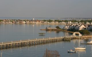
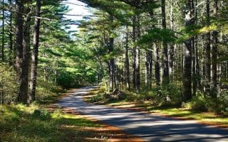
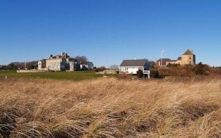
Longer Run: At Edward Foster Rd., continue with a 2.3 loop around First Cliff & Second Cliff. Hilly, nice homes, and water views! Run along Edward Foster Rd., enjoying great marsh views. Then, RIGHT on Peggotty Beach Rd. to reach Second Cliff, do the loop, and then continue on Norman Foster Rd. to Crow Point/First Cliff.
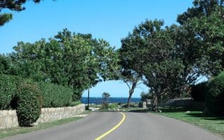
Add-On: Nice side streets off Oceanside Rd.
Scituate is a pretty coastal town located between Boston and Plymouth. There is very nice waterside running here, using Oceanside Rd. & Jericho Rd. to run out to the historic Scituate Lighthouse and past the Scituate Harbor and Marina. There’s also an option to make this a longer run by adding First & Second Cliff.
Our main mapped route is 6.6 miles out & back. Start at Oceanside Rd. off 1st Ave. Head south for 1 mile, as Oceanside turns into Turner Rd. You’ll then do a ~1 mile loop around Cedar Point, out to the Lighthouse, using Lighthouse Rd. & Rebecca Rd. Nice water views much of the way, and some pretty homes. This area of Scituate tends to get battered during “Nor’easter” storms, and you’ll see evidence of homes on pilings, sea walls, and debris.
For a 4-mile out and back option, head back here. For a 6.6 mile option, continue south along Jericho Rd., following the water for 1.4 miles, passing Museum Beach, to the intersection with First Parish Rd./Edward Foster Rd. There are nice views of Scituate Harbor.
Longer Run: At Edward Foster Rd., continue with a 2.3 loop around First Cliff & Second Cliff. Hilly, nice homes, and water views! Run along Edward Foster Rd., enjoying great marsh views. Then, RIGHT on Peggotty Beach Rd. to reach Second Cliff, do the loop, and then continue on Norman Foster Rd. to Crow Point/First Cliff.
Add-On: Nice side streets off Oceanside Rd.


Review or Comment on This Route/Share a Photo!
Share your feedback on this route and see that of other Great Runs users. Click on the image icon to upload a photo. And please let us know if there are notes or changes we should incorporate!