Plymouth played an important role in U.S. history, as the site of one of the country’s first settlements, landing site of the Mayflower, and location of the First Thanksgiving. We’ve put together a 3.2 mile ‘runseeing’ tour of this historical town, focused on the center and Cultural District.
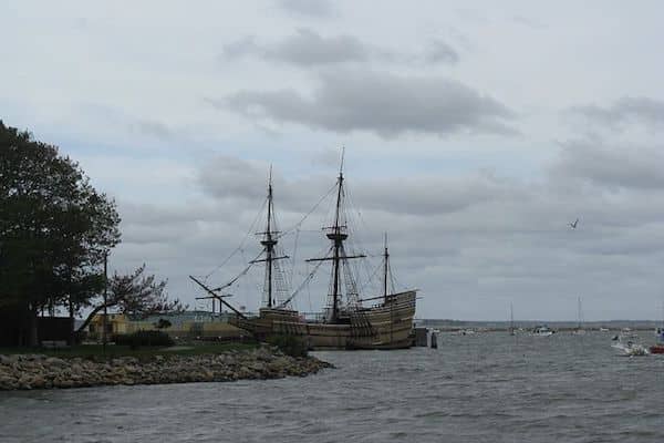
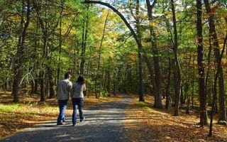
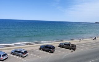
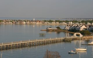
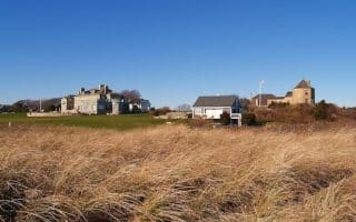
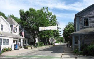
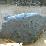 Start at the intersection of Water St. & Union St. The first section is a 1 mile out and back along Union St. to Stephens Field, which has nice water views. Then, head north along Water St. to the waterside path leading to the famed Plymouth Rock, through Pilgrim Memorial State Park, and the Plimoth Plantation Waterfront Exhibit. Continue north along Water St. for 1/2 mile, down to the Town Wharf, enjoying nice water views. At the rotary, turn RIGHT on Memorial Dr., passing the 1809 Hedge House Museum and Pilgrim Hall Museum. Turn LEFT on Court St. (Rt. 3A), then onto School St., passing the 1749 Court House Museum and numerous historical buildings. RIGHT on Summer St., by the Jenney Museum, and then LEFT on Willard Pl., into the Town Park, where the final section of the run passes the Grist Mill and a pleasant path heads back toward the water through the Brewster Gardens.
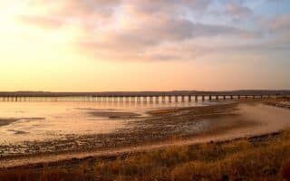
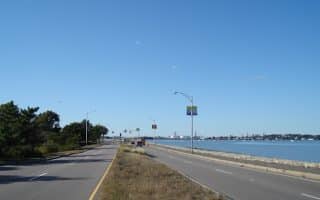
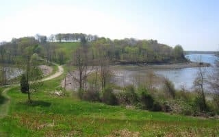
Longer Run: North of the Town Wharf, it’s possible to continue along the water for another 1.5 miles. Follow Water St. for 1/2 mile to Nelson Memorial Park, where you can join an off-road path that continues for another 1 mile to Hedge Rd., which is not far from the Plymouth commuter rail station.


Review or Comment on This Route/Share a Photo!
Share your feedback on this route and see that of other Great Runs users. Click on the image icon to upload a photo. And please let us know if there are notes or changes we should incorporate!