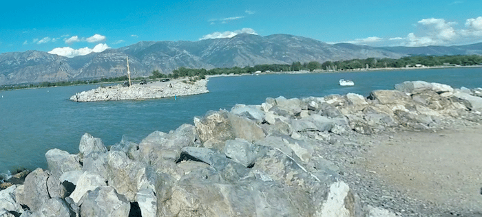
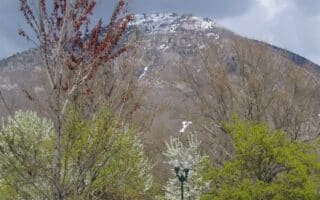
Utah Lake is Utah’s largest freshwater lake. It’s popular for swimming and boating in summer, and for hockey and ice fishing in winter. Although there’s no classic ‘lake loop’, there are several good running options in the area, affording some nice lake views with the mountains as a backdrop. Note: not a lot of trees around here. The routes are open and exposed.
Utah Lake State Park. A popular park and camping area, there’s a nice run combining two jetties with great lake views, and the paved, 3-mile Utah Lake Shore Line trail. The jetties and full trail combine for a ~7 mile run. Utah Lake State Park is also the southern terminus of the Provo River Parkway Trail. ROUTE MAP
Shore Line Trail North. Located 9 miles north of Utah State Park, the Shore Line Trail heads north for 2.4 miles, through Sunset Beach Park to Vineyard Beach, then making a nice 1.4 mile loop around a small interior lake. There’s a 0.5 mile on-road connection. Overall route is ~6 miles. ROUTE MAP
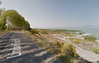
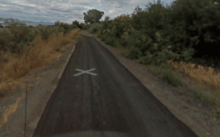
Lincoln Beach Rd. Google Street View
Lincoln Beach Rd. Located 21 miles south of Utah Lake, Lincoln Beach Rd. is nice road for running — fairly quiet with some good views of the lake. Heading south along the road, it’s 3 miles to Mulberry Beach, 5.5 miles to Goosepoint North (public access point), 6.5 miles to Goosepoint South, and 8 miles to Tower View Point. Note: Open and exposed, no shoulder. ROUTE MAP
Airport Loop. The Provo airport is located next to Utah Lake State Park. A popular running route is the 7 mile loop around the airport road, S Airport Dike Rd. & Aviation Rd. No real lake views, but a good, long flat run with views of airplanes taking off and landing, and the surrounding mountains. ROUTE MAP
Utah Lake is Utah’s largest freshwater lake. It’s popular for swimming and boating in summer, and for hockey and ice fishing in winter. Although there’s no classic ‘lake loop’, there are several good running options in the area, affording some nice lake views with the mountains as a backdrop. Note: not a lot of trees around here. The routes are open and exposed.
Utah Lake State Park. A popular park and camping area, there’s a nice run combining two jetties with great lake views, and the paved, 3-mile Utah Lake Shore Line trail. The jetties and full trail combine for a ~7 mile run. Utah Lake State Park is also the southern terminus of the Provo River Parkway Trail. ROUTE MAP
Shore Line Trail North. Located 9 miles north of Utah State Park, the Shore Line Trail heads north for 2.4 miles, through Sunset Beach Park to Vineyard Beach, then making a nice 1.4 mile loop around a small interior lake. There’s a 0.5 mile on-road connection. Overall route is ~6 miles. ROUTE MAP
Lincoln Beach Rd. Google Street View
Lincoln Beach Rd. Located 21 miles south of Utah Lake, Lincoln Beach Rd. is nice road for running — fairly quiet with some good views of the lake. Heading south along the road, it’s 3 miles to Mulberry Beach, 5.5 miles to Goosepoint North (public access point), 6.5 miles to Goosepoint South, and 8 miles to Tower View Point. Note: Open and exposed, no shoulder. ROUTE MAP
Airport Loop. The Provo airport is located next to Utah Lake State Park. A popular running route is the 7 mile loop around the airport road, S Airport Dike Rd. & Aviation Rd. No real lake views, but a good, long flat run with views of airplanes taking off and landing, and the surrounding mountains. ROUTE MAP
Another great opportunity for a scenic off-road run. The paved multi-use path travels for 18 miles between Orem and Lehi. There are views of the mountains and occasional glimpses of Utah Lake. Connects at eastern end with the Provo River Parkway Trail.
A long-distance hiking trail with several sections on the Provo/Orem area. Generally less steep and easier footing than some of the canyon trails. We've mapped a 10.6 mile section from Springville to Rock Canyon, and a couple of sections in Orem.
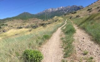
Rock Canyon is the go-to hiking and trail running spot in the Provo area. This tends to be more hilly and fairly challenging trail running. The hike/run up Y Mountain is popular. The footing is easier on the Rock Canyon Trail.
A good, flat 7 mile loop on a mainly gravel strip between the airport and Utah Lake. Views of surrounding mountains and occasional glimpses of the lake. Can be combined with our Utah Lake and Provo River Parkway routes.
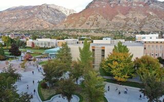
Attractive campus for running, with mountains all around, nice pedestrian paths, and numerous fields/athletic facilities. A campus 'tour' is 3-4 miles. Can add with Provo River Parkway Trail right near campus or paved path along N University Ave.
A great bet for a long, off-road run in Provo. Paved trail runs for 15 miles from Utah Lake to Provo Canyon. We divided the route into two sections. A mix of wooded and open terrain, great views, numerous parks and sites.
Share your feedback on this route and see that of other Great Runs users. Click on the image icon to upload a photo. And please let us know if there are notes or changes we should incorporate!


Review or Comment on This Route/Share a Photo!
Share your feedback on this route and see that of other Great Runs users. Click on the image icon to upload a photo. And please let us know if there are notes or changes we should incorporate!