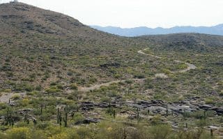
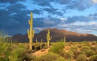
The Grand Canal Trail (not to be confused with the Arizona Canal Trail)! is one of a series of canal trails in Phoenix that provide a good opportunity for a longer off-road run. The canal system is more than 100 years old, but its roots go much further back, as from 300 to 1450, the Hohokam people built over 500 miles of irrigation ditches to farm the Salt River Valley.
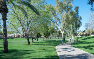
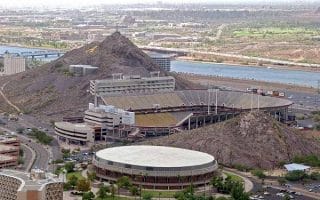
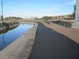
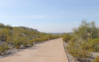
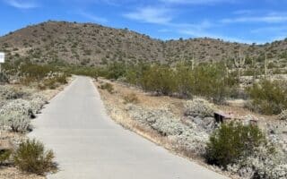
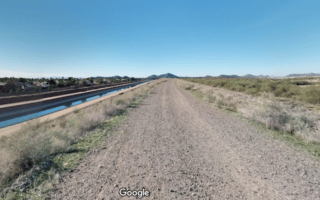
The multi-use path runs for 25 miles west-east from the Agua Fira River/State Farm Stadium area in Glendale to Tempe (Washington St., near Papago Park & Tempe Town Lake, staying mostly north of I-10. The closest access to downtown Phoenix is 4 miles north up 15th St. The trail is a combination of dirt and paved surface, with paths along both sides of the canal for much of the way. It’s quite open and exposed, passing mainly through residential areas. NEW: In recent years, the trail has been improved in certain sections: on the north side of the canal from 75th Ave. near Indian School Road east to 47th Ave. (miles 4.5-9.3 on our map) and from I-17 to the Highway 143 (miles 12-22). The improved part is known as the ‘Grand Canalscape‘, and features a paved surface, is lit, and has other features.
A few highlights, in sections, using our mapped route from west to east:
Mile 0: Connection to New River Trail in Glendale, which runs for 9.5 miles north and connects to the Arizona Canal Trail’s west end @N 75th Ave.
Miles 4.5-9.3: Recently improved section between 75th Ave. & 47th Ave. — paved & lit.
Mile 12: Improved section picks up again east of I-17.
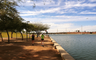
Mile 15: Melrose District: fun bars, shops, restaurants, & historic homes. @Mile 15.4: Steele Indian School Park, with additional trails, a lake, and a running track.
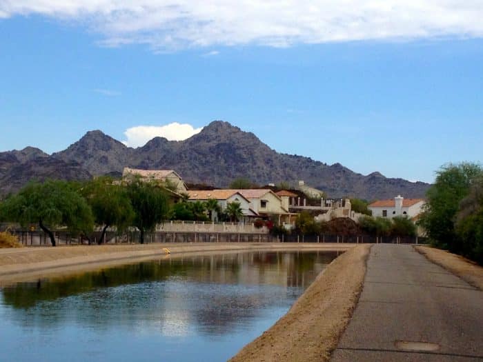
Mile 18: Wrigley Mansion/Biltmore Estates area. Lots of higher-end homes.
Mile 22: Cross Cut Canal. Follow 48th St. to McDowell Rd. and then the Cross Cut Canal Trail to reach the Arizona Canal Trail (2.1 miles).


Review or Comment on This Route/Share a Photo!
Share your feedback on this route and see that of other Great Runs users. Click on the image icon to upload a photo. And please let us know if there are notes or changes we should incorporate!