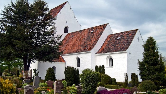
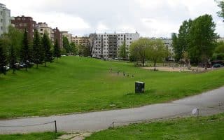
Tranbjerg J area is a suburb of Aarhus, 10 km southwest of the city center. The area has a great running route on the Laurel Trail, a 5 km loop through the town green. This route, marked with red signs, starts out south of the Nørrevænget light rail station. From here, it heads west to the dog park and around the soccer club before returning back east through the green trail corridor.
Features:
Scroll Down For Route Maps
Essentials
- 5 km (3.1 miles)
- 15m (49 feet)
- Nørrevænget Light Rail Station
- Take light rail to Nørrevænget Station (~30 min)
Current Weather & Forecast

Aarhus, DK
8:06 am,
Jul 14, 2026
L: 19°
H: 19°
Daily ForecastHourly Forecast
Today
11:00 pm
19° / 19°°C
0 mm
0%
16 mph
80 %
1018 mb
0 mm/h
Tomorrow
11:00 pm
21° / 32°°C
0 mm
0%
11 mph
87 %
1014 mb
0 mm/h
Thursday
11:00 pm
20° / 25°°C
0 mm
0%
15 mph
70 %
1016 mb
0 mm/h
Friday
11:00 pm
15° / 28°°C
0 mm
0%
9 mph
80 %
1019 mb
0 mm/h
Saturday
11:00 pm
17° / 29°°C
1 mm
100%
15 mph
95 %
1015 mb
0 mm/h
Today
11:00 am
20° / 21°°C
0 mm
0%
9 mph
79 %
1018 mb
0 mm/h
Today
2:00 pm
23° / 23°°C
0 mm
0%
11 mph
80 %
1018 mb
0 mm/h
Today
5:00 pm
31° / 31°°C
0 mm
0%
16 mph
61 %
1017 mb
0 mm/h
Today
8:00 pm
33° / 33°°C
0 mm
0%
16 mph
52 %
1016 mb
0 mm/h
Today
11:00 pm
33° / 33°°C
0 mm
0%
14 mph
55 %
1015 mb
0 mm/h
Tomorrow
2:00 am
30° / 30°°C
0 mm
0%
10 mph
71 %
1014 mb
0 mm/h
Tomorrow
5:00 am
24° / 24°°C
0 mm
0%
8 mph
83 %
1014 mb
0 mm/h
Other Routes in Aarhus, Denmark
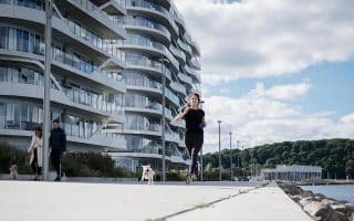
Take a tour of Aarhus’ top architectural and cultural sites on the pedestrian-friendly streets of downtown. Our ~6 km ‘runseeing’ route explores the waterfront, Aarhus River, the Mollestein and Vestergade areas, and more.
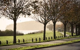
The “Sunbeams” are 7 popular paths of varying length and terrain radiating out from the city center. Each has a theme: coast, park, forest, mountain, lake/river, countryside. See our maps and detailed descriptions!
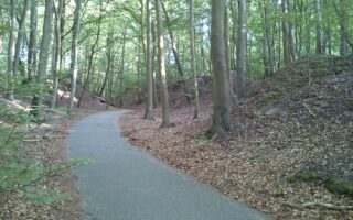
Large forest area south of Aarhus that extends for 7 km along the coast. Mainly wooded, with strands of 200-300 year old beech trees. Marked running loops of 6k & 10k. Part of Sunbeam Coast route.

Watch boats bob in the bay from this scenic gravel path along the coast and around Egå Marina. The trail stretches south to Åkrogen Strandpark and north to Skæring Beach where it connects with the Skoødstrup Trail.
Runners can find a 1500 meter track as well as 2, 3, and 5 km marked routes throughout the green knolls of Marienlyst park. Connect to the paths around Aarhus University Hospital and the Countryside Route for longer runs.
A roughly 5 km (one way) route from the Skødstrup Church to Kaløvig harbor marina, this combination of bike paths, service roads, and pedestrian walkways is a nice quiet tour of Aarhus’ less populated suburbs.
User Ratings
Leave A Review or Comment
Review or Comment on This Route/Share a Photo!
Share your feedback on this route and see that of other Great Runs users. Click on the image icon to upload a photo. And please let us know if there are notes or changes we should incorporate!