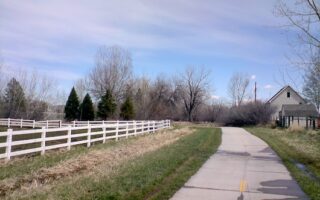
This is a very scenic route in two adjacent open spaces that can run separately or combined in various ways. Note that combining the route from Cathy Fromme north is a gradual climb.
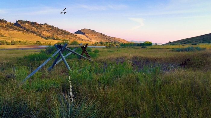
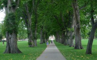
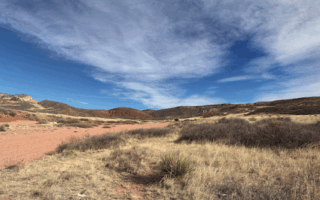
Cathy Fromme Prairie Natural Area is a rare example of Fort Collins pre-settlement shortgrass prairie landscape. The paved Fossil Creek Trail runs for 2 miles trough this scenic area of drylands & wetlands. It’s a ~110 foot climb headed north. TRAIL MAP
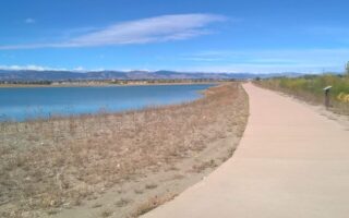
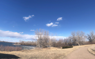
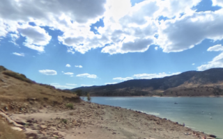
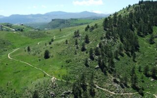
For a longer run, continue north on the Fossil Creek Trail for 1 mile into the Pineridge Natural Area. There are 7 miles of soft surface trails feature enjoy city views, foothills terrain, some forest, and nice water views in the 1.8 mile loop around Dixon Reservoir. Our mapped route is a 4-mile loop combining the Valley Trail, Reservoir, and Timber Trail/South Loop Trail. The full route combining the two areas is nearly 11 miles. TRAIL MAP
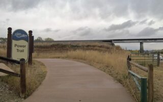
Add-Ons: For even more, add the ~2.5 miles of trails in Spring Canyon Park, which is just east of Pineridge. It’s an open, grassy area with athletic fields (Note: popular for mountain biking). Pineridge is also the southern end of the 9.6 mile Foothills Trail, which connects Pineridge, Maxwell and Reservoir Ridge natural areas.
This is a very scenic route in two adjacent open spaces that can run separately or combined in various ways. Note that combining the route from Cathy Fromme north is a gradual climb.
Cathy Fromme Prairie Natural Area is a rare example of Fort Collins pre-settlement shortgrass prairie landscape. The paved Fossil Creek Trail runs for 2 miles trough this scenic area of drylands & wetlands. It’s a ~110 foot climb headed north. TRAIL MAP
For a longer run, continue north on the Fossil Creek Trail for 1 mile into the Pineridge Natural Area. There are 7 miles of soft surface trails feature enjoy city views, foothills terrain, some forest, and nice water views in the 1.8 mile loop around Dixon Reservoir. Our mapped route is a 4-mile loop combining the Valley Trail, Reservoir, and Timber Trail/South Loop Trail. The full route combining the two areas is nearly 11 miles. TRAIL MAP
Add-Ons: For even more, add the ~2.5 miles of trails in Spring Canyon Park, which is just east of Pineridge. It’s an open, grassy area with athletic fields (Note: popular for mountain biking). Pineridge is also the southern end of the 9.6 mile Foothills Trail, which connects Pineridge, Maxwell and Reservoir Ridge natural areas.


Review or Comment on This Route/Share a Photo!
Share your feedback on this route and see that of other Great Runs users. Click on the image icon to upload a photo. And please let us know if there are notes or changes we should incorporate!