The trails along the Mississippi River are signature running spots in the Davenport/Quad cities area. We’ve created separate posts for the Riverfront Trail on the north side, and the Great River Trail on the south side.
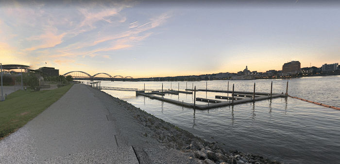
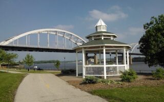
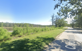
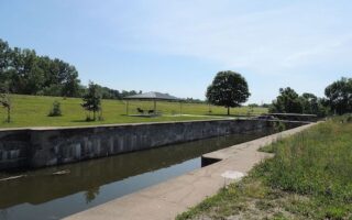
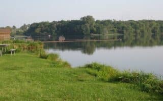
The Great River Trail is the premier trail along the Mississippi River, covering 60 miles in Central and Northern Illinois. We’ve mapped the 12 miles from Rock Island east to Hampton. This section of the paved multi-use trail is almost entirely along the water, with good views of the Mississippi. The trail starts 2 miles west of downtown in Sunset Park. From there, it’s 2 miles to the Centennial Bridge. At 4.3 miles, there’s a pedestrian bridge to Sylvan Island, which makes for a nice 1 mile add-on loop on a crushed limestone path (TRAIL MAP). Just west of the I-74 (6-mile mark) is a 2+ mile park-line section.
Our route ends at 1st St. in Hampton, but the trail continues for another 45+ miles to Savanna on a combination of dedicated path and some on-road sections. This TRAIL MAP is an excellent resource for the whole trail.
Bridge & Loop Options. Can combine with the Riverfront Trail on the north side of the Mississippi. The best bridge for crossing is Arsenal Bridge (passing by the the scenic Fort Armstrong Historic Site), though there are pedestrian paths across the Centennial Bridge and the (less pleasant) I-74 Bridge. For a fun loop, there’s a Water Taxi just east of I-74 at Ben Butterworth Park, where you can then run back along the Riverfront Trail.
The trails along the Mississippi River are signature running spots in the Davenport/Quad cities area. We’ve created separate posts for the Riverfront Trail on the north side, and the Great River Trail on the south side.
The Great River Trail is the premier trail along the Mississippi River, covering 60 miles in Central and Northern Illinois. We’ve mapped the 12 miles from Rock Island east to Hampton. This section of the paved multi-use trail is almost entirely along the water, with good views of the Mississippi. The trail starts 2 miles west of downtown in Sunset Park. From there, it’s 2 miles to the Centennial Bridge. At 4.3 miles, there’s a pedestrian bridge to Sylvan Island, which makes for a nice 1 mile add-on loop on a crushed limestone path (TRAIL MAP). Just west of the I-74 (6-mile mark) is a 2+ mile park-line section.
Our route ends at 1st St. in Hampton, but the trail continues for another 45+ miles to Savanna on a combination of dedicated path and some on-road sections. This TRAIL MAP is an excellent resource for the whole trail.
Bridge & Loop Options. Can combine with the Riverfront Trail on the north side of the Mississippi. The best bridge for crossing is Arsenal Bridge (passing by the the scenic Fort Armstrong Historic Site), though there are pedestrian paths across the Centennial Bridge and the (less pleasant) I-74 Bridge. For a fun loop, there’s a Water Taxi just east of I-74 at Ben Butterworth Park, where you can then run back along the Riverfront Trail.


Review or Comment on This Route/Share a Photo!
Share your feedback on this route and see that of other Great Runs users. Click on the image icon to upload a photo. And please let us know if there are notes or changes we should incorporate!