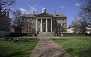
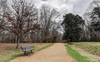
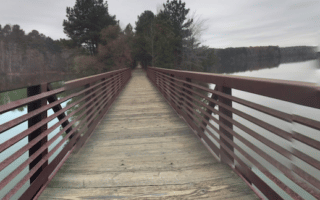
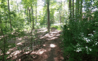
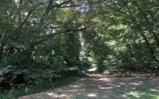
The Bicentennial Greenway is a multi-use trail that runs for many miles in the Greensboro and High Point areas. It’s a good off-road running opportunity, passing mainly through wooded terrain. The combination paved and gravel path is a bit of a work in progress, as there are several on-road sections and some gaps, though it’s well waymarked. We’ve mapped two routes, with a 3.5-mile gap between the sections.
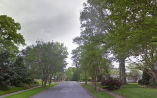
North Section. 7 miles from Old Battleground Rd. to West Guilford High School. The northern end of the trail starts at Old Battleground Rd. just west of the Atlantic & Yadkin Greenway and north of Guilford Courthouse National Military Park. Head south, with road/sidewalk connections on Drawbridge Pkwy and around Joseph Bryan Blvd. The trail is seamless for the 3.5 miles south of Old Oak Ridge Rd., ending at West Guilford High School.
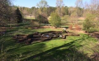
South Section. 7.8 miles from S Chimney Rock Rd. to University Park. This mainly paved section of the Bicentennial Trail passes through several parks, most notably Gibson Park, Jamestown Park, and 3+ miles in the Piedmont Environmental Center.
The Bicentennial Greenway is a multi-use trail that runs for many miles in the Greensboro and High Point areas. It’s a good off-road running opportunity, passing mainly through wooded terrain. The combination paved and gravel path is a bit of a work in progress, as there are several on-road sections and some gaps, though it’s well waymarked. We’ve mapped two routes, with a 3.5-mile gap between the sections.
North Section. 7 miles from Old Battleground Rd. to West Guilford High School. The northern end of the trail starts at Old Battleground Rd. just west of the Atlantic & Yadkin Greenway and north of Guilford Courthouse National Military Park. Head south, with road/sidewalk connections on Drawbridge Pkwy and around Joseph Bryan Blvd. The trail is seamless for the 3.5 miles south of Old Oak Ridge Rd., ending at West Guilford High School.
South Section. 7.8 miles from S Chimney Rock Rd. to University Park. This mainly paved section of the Bicentennial Trail passes through several parks, most notably Gibson Park, Jamestown Park, and 3+ miles in the Piedmont Environmental Center.

Review or Comment on This Route/Share a Photo!
Share your feedback on this route and see that of other Great Runs users. Click on the image icon to upload a photo. And please let us know if there are notes or changes we should incorporate!