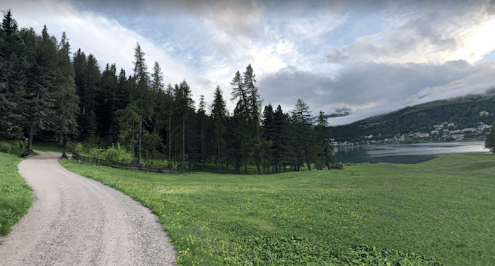
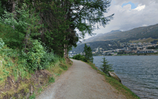
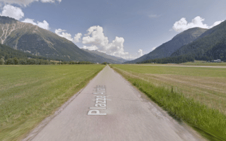
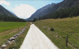
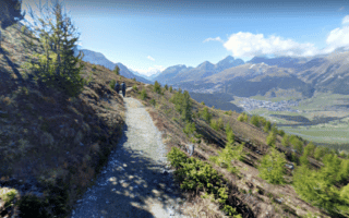
A network of forest trails runs between St. Moritz and Pontresina, with something for runners of all abilities — from challenging single-track trails to wider gravel paths. We haven’s created a specific route, but here are a few options.
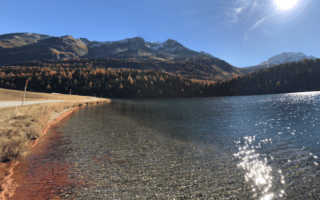
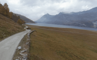
A good place to start is from the eastern edge of the main lake in St. Moritz into the forest and on past Lej de Staz, which is popular for swimming. The trail toward Pontresina is undulating. North of the lake is more challenging, and south of the lake is wider and downhill, heading north toward Celerina. Another option is to head southwest toward Champfèr (you can access this option at the end of Via Surpunt).
A network of forest trails runs between St. Moritz and Pontresina, with something for runners of all abilities — from challenging single-track trails to wider gravel paths. We haven’s created a specific route, but here are a few options.
A good place to start is from the eastern edge of the main lake in St. Moritz into the forest and on past Lej de Staz, which is popular for swimming. The trail toward Pontresina is undulating. North of the lake is more challenging, and south of the lake is wider and downhill, heading north toward Celerina. Another option is to head southwest toward Champfèr (you can access this option at the end of Via Surpunt).

Review or Comment on This Route/Share a Photo!
Share your feedback on this route and see that of other Great Runs users. Click on the image icon to upload a photo. And please let us know if there are notes or changes we should incorporate!