Only a 75-minute ferry ride from Buenos Aires, Colonia del Sacramento is a former Portugese settlement in southern Uruguay and a popular visitor destination. A spectacular setting, Colonia is known for its well-preserved Barrio Histórico, 19th century lighthouse with great views of the Río de La Plata and the preserved city walls of Portón de Campo. There are some great options for running in Colonia del Sacramento. Our recommendations:
Rambla (waterfront). The Rambla de las Américas is the signature spot for running in Colonia. A pleasant path/wide sidewalk runs along the water, with great views of the Río de La Plata. The best places to start is at the Playa Urbana Las Delicias, just west of the city center. The path goes for 4 km to Playa Urbana los Verdes, for an 8km out and back. There are several beaches along here, all very runnable Bonus: well lit at night! ROUTE MAP
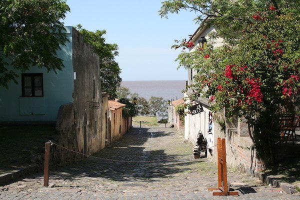
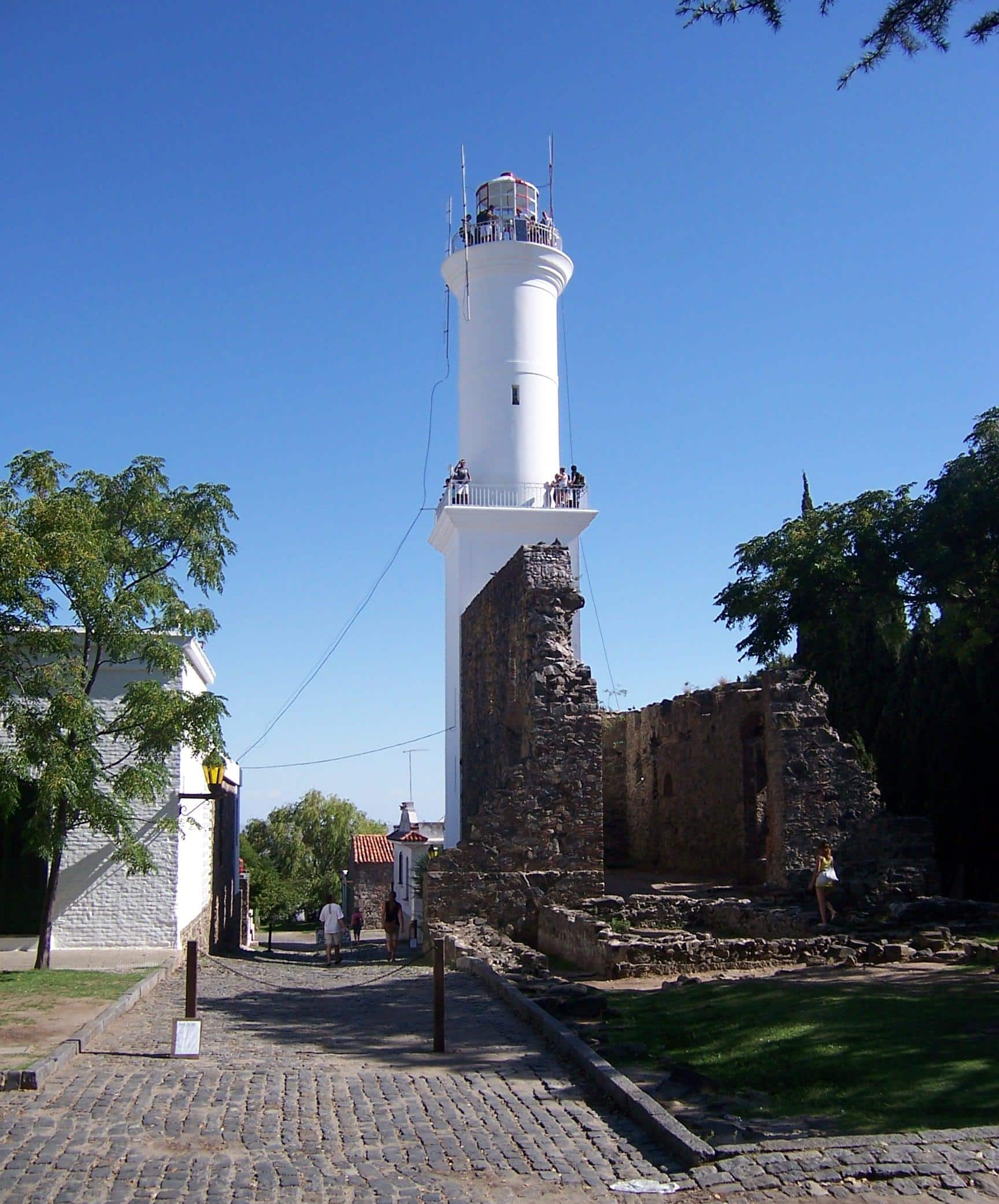 Barrio Histórico. Perhaps challenging footing, but it’s a treat to run the cobblestoned streets of the historic center. We’ve created a 7.4 km (4.6 mile) route. From the Ferry Terminal, run along R. Manuel Lobo through the stone gate of Portón de Campo to the Lighthouse, then along the water (Rambla) to Forte Santa Rita, and then away from the water on Rivadavia for 1.5 km to the Parque Ferraro, where you can do a 1 km loop of its pleasant paths. Return on Gral. Flores or any other west-east street. ROUTE MAP
 Beaches & Muelle. The beaches in Colonia are great for running — wide and fairly flat, with good stretches of firm sand, especially near the water. Good options include the series of ‘Playa Urbana’ beaches heading west of the center, paralleling Rambla de las Américas. East of the center is ~1 km long Playa Ferrando and then a runnable dirt path heading to Playa El Calabrés and Muelle de El Calabrés (pier).
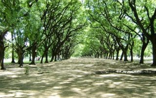
Rural/Agricultural Roads. Just outside Colonia, things get rural and agricultural very quickly. There are some good dirt roads passing by farms that don’t have too much traffic, especially northwest of the center. Using the Museo del Ferrocarril (Rail Museum) as a base, run along flat, straight, and open streets such as Tula Suarez de Cutinella and Camino Tomas Assandri.


Review or Comment on This Route/Share a Photo!
Share your feedback on this route and see that of other Great Runs users. Click on the image icon to upload a photo. And please let us know if there are notes or changes we should incorporate!