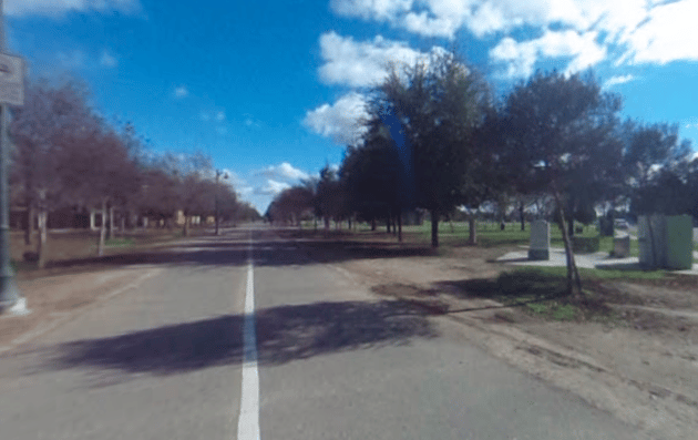
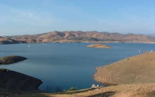
There’s a series of paved multi-use paths in the Clovis area, a city 6 miles north of Fresno and part of the greater Fresno area. The signature trail is the 8-mile Fresno-Clovis Rail Trail. It’s not the most scenic run you’ll ever do, but it’s good for a long off-road option. The south end starts northeast of downtown Fresno near the Airport at E. Shields Ave. The first 3 miles runs alongside Clovis Ave. through the center of Clovis (also called the Old Town Clovis Trail in parts). The trail turns west for 2 miles to Railroad Park, and then heads north paralleling N Willow Ave. for the last 2.3 miles, ending at Clovis Community College. Spur Option: At Shephard Ave., a spur of the trail heads west along W Shepherd Ave. for 3.5 miles to Highway 41, approaching Woodward Park (see our route there).
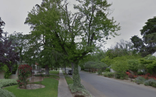
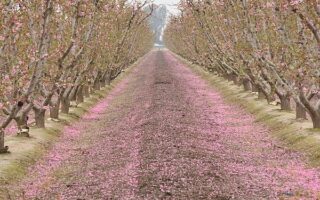
Dry Creek Trail & Enterprise Trail. The Dry Creek Trail is another paved multi-use path in Clovis, running along a dry creek for 2.6 miles. It comes off the Fresno-Clovis Rail Trail at the 4.2 mile mark, just north of Herndon Ave., and runs northeast through Cottonwood Park and the Clovis Botanical Garden to E Shephard Ave. Option there to connect to the 2.5 mile Enterprise Trail, a paved multi-use path that runs east along E Shephard Ave. to Town & Country Park and then south alongside a creek.
Information on trails in Clovis — see this brochure.
There’s a series of paved multi-use paths in the Clovis area, a city 6 miles north of Fresno and part of the greater Fresno area. The signature trail is the 8-mile Fresno-Clovis Rail Trail. It’s not the most scenic run you’ll ever do, but it’s good for a long off-road option. The south end starts northeast of downtown Fresno near the Airport at E. Shields Ave. The first 3 miles runs alongside Clovis Ave. through the center of Clovis (also called the Old Town Clovis Trail in parts). The trail turns west for 2 miles to Railroad Park, and then heads north paralleling N Willow Ave. for the last 2.3 miles, ending at Clovis Community College. Spur Option: At Shephard Ave., a spur of the trail heads west along W Shepherd Ave. for 3.5 miles to Highway 41, approaching Woodward Park (see our route there).
Dry Creek Trail & Enterprise Trail. The Dry Creek Trail is another paved multi-use path in Clovis, running along a dry creek for 2.6 miles. It comes off the Fresno-Clovis Rail Trail at the 4.2 mile mark, just north of Herndon Ave., and runs northeast through Cottonwood Park and the Clovis Botanical Garden to E Shephard Ave. Option there to connect to the 2.5 mile Enterprise Trail, a paved multi-use path that runs east along E Shephard Ave. to Town & Country Park and then south alongside a creek.
Information on trails in Clovis — see this brochure.


Review or Comment on This Route/Share a Photo!
Share your feedback on this route and see that of other Great Runs users. Click on the image icon to upload a photo. And please let us know if there are notes or changes we should incorporate!